Napali Coast
Description
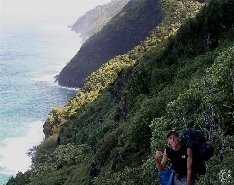
The Na Pali Coast, also know as the Kalalau Trail, is a scenic wonder and a hiking experience unlike anything else in Hawai'i. The trail wraps along an ancient footpath and is the only access to the area. This hiking trail is truly epic, starting at sea level and climbing up to 800 feet in elevation then descending down to sea level again over 2 miles. From your first steps to your last nature takes center stage, with layer upon layer of greenery carpeting the landscape and the sounds of crashing surf below and sight of azure blue ocean reaching to the horizon. The Na Pali Coast wilderness stretches expansively with endless cliffs rising above the ocean like cathedral spires making for one of the most incredible views in Hawaii. The entire trail to Kalalau Valley stretches for 11 miles and requires permits and preparation. The first valley along the trail, called Hanakapi'ai, is reachable in 2 miles hike making it a good half or full day hike.
At a Glance:
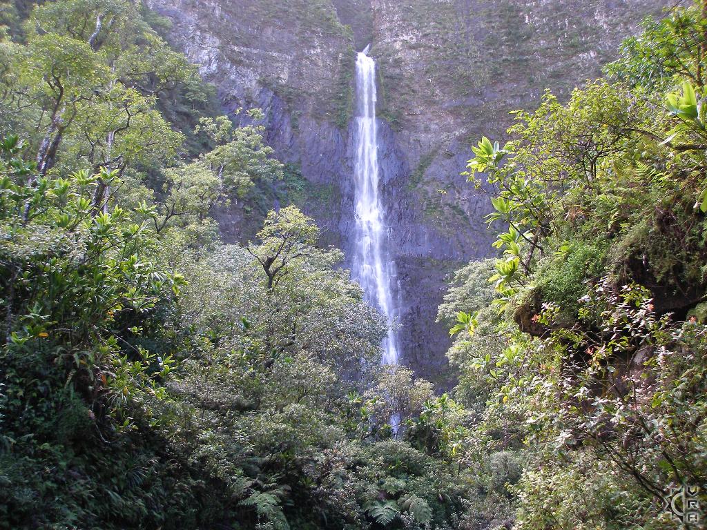
Highlights: The trail is popular but extreme so the further you go the less people you will find. A 6 to 8 hour day-hike of 8 miles round trip gets you to the 400 foot tall Hanakapi'ai Falls, but even a short part of the hike pays major scenic returns.
Location: North shore at th end of the road past Hanalei, at Haena State Park
Activity Level: Strenuous due to elevation gain and trail conditions.
Equipment: Sturdy shoes, rain gear, water and food.
Warnings!: Follow all posted warnings within park grounds. There is a full interpretive display at the trailhead. The trail is steep, slippery, muddy and rocky all the way and the hike out is reversing direction on the same path, therefor gauge your abilities and go only as far as seems safe for you. This trail is for real shoes, and it is where white tennis shoes come to die, be prepared for thick mud in some areas. DO NOT ATTEMPT TO CROSS THE HANAKAPI'AI STREAM IF FLOODING!
Reservations: None needed, for the day hike to Hanakapi'ai
Cost: None
Where to Start:
The State maintains the trail that begins from the parking area just behind the lifeguards stand for Ke'e Beach. It is NOT for the timid, especially those with heart or knee injury conditions. The Hanakapi'ai Valley is 2 miles hiking one-way with a gain of 800+ feet of elevation. The trail is slippery and muddy often due to rains and requires good physical condition. IF it is raining consistently, this hike should be avoided until the weather clears. For those not wanting to go all the way to Hanakapi'ai, a shorter hike of about half mile up the trail from Ke'e Beach, will get you an incredible view of the coast with less energy spent, and more time to visit the beach below. The trail into Hanakapi'ai Valley ends at the stream and beach.
Caution: DO NOT ATTEMPT TO CROSS THE HANAKAPIA STREAM IF FLOODING! Many people have been injured attempting to forge the flooded stream. The ocean can also be potential hazardous with strong rip currents and under-tow. Do not swim in the ocean here, the remote location makes rescues improbable
Hike further to 400 foot Waterfall:
Once you reach the valley, an additional 2 miles hiking following the trail to the right of the stream (facing up valley) will bring you to the 400 foot tall Hanakapi'ai Falls. The hike is less strenuous with much less elevation gain then the coast trail. Remember the hike out is going to be strenuous so plan accordingly, add 2-3 hours for your round-trip walking to the back of the valley. If venturing to the falls, there is a large swimming pool full of rocks and boulders that have fallen off from the cliffs above. It is best to keep your distance from the waterfall impact area and cliffs above to avoid falling rock hazards.
More Information:
Visit this website for more trail info: http://www.kalalautrail.com/information.html
State Parks Wilderness Area page: http://www.hawaiistateparks.org/parks/kauai/napali.cfm
Directions:
Drive Kuhio Highway/ HI-route 56 West out of Hanalei town for 8 miles until you past the neighborhood with many "Tunnels" related hand painted signs. Go slowly until you come to a stream crossing that has you driving through the water. Just past the crossing there is small parking area on the right, continue past this section. The road will wind along the coast then inland again, as you cross a small stream bridge you will see "Ha'ena State Park" sign on the right. Parking over flow starts on the right, proceed mile further to the primary parking area, and patiently look for parking.
Parking Tip:
If end of the road parking is full, just relax for a few moments and wait for turn over. People do leave and arrive at a steady pace through out the day. Early mornings, and sunset times are least crowded times of the day.
Map


