Opaeka'a Falls Lookout
Description
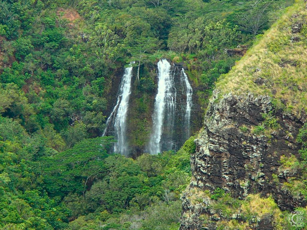
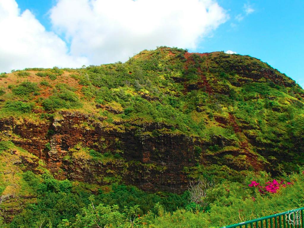
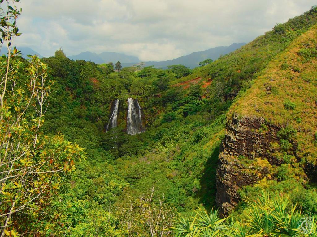
This spectacular waterfall lookout is easy to find via a short 5 minute drive up the Kuamo'o Road (rt. 580) from the Kuhio Highway (rt. 56). The lush green landscape of the Nounou Forest Reserve frames the view of the falls and the adjacent mountain called "Sleeping Giant" is a popular hiking area. Opaeka'a refers to the abundant fresh water shrimp found in the stream bellow, literally it means "rolling shrimp".
Highlights:
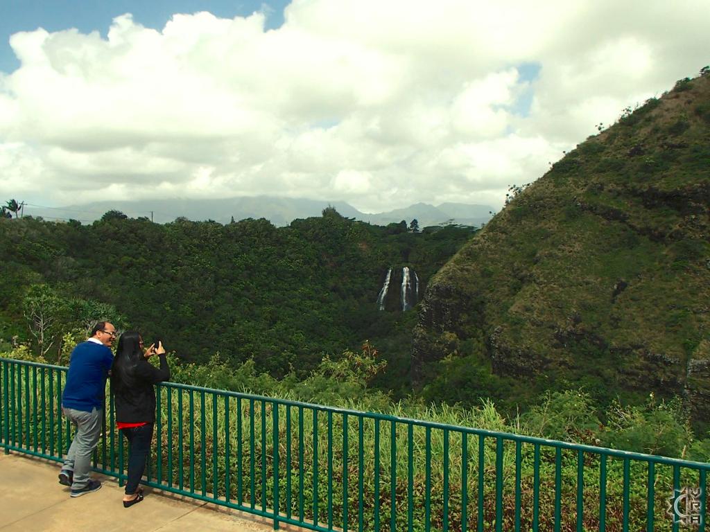
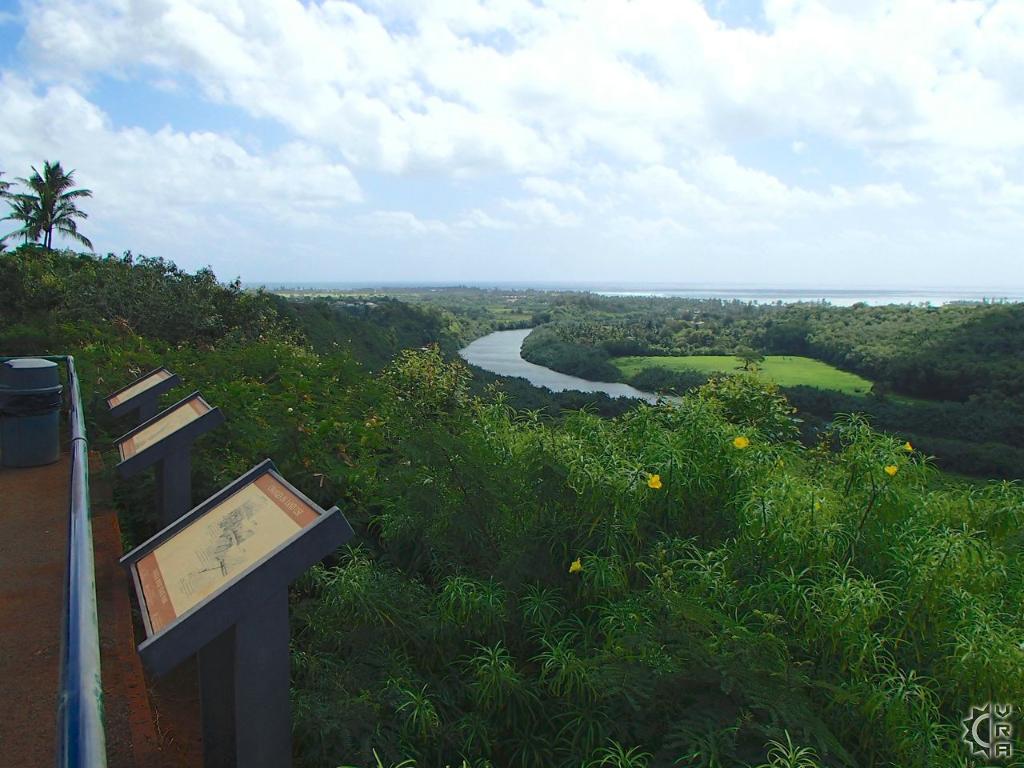
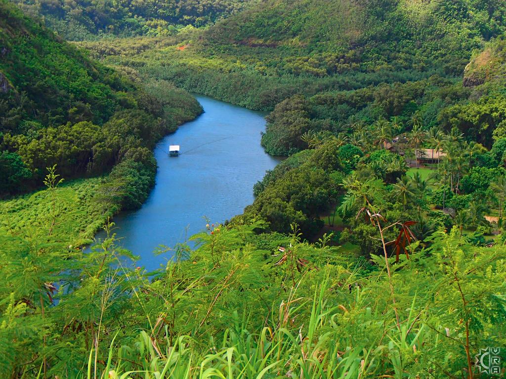
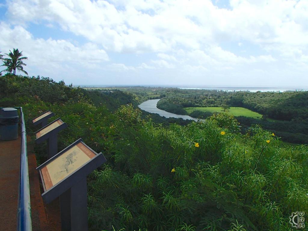
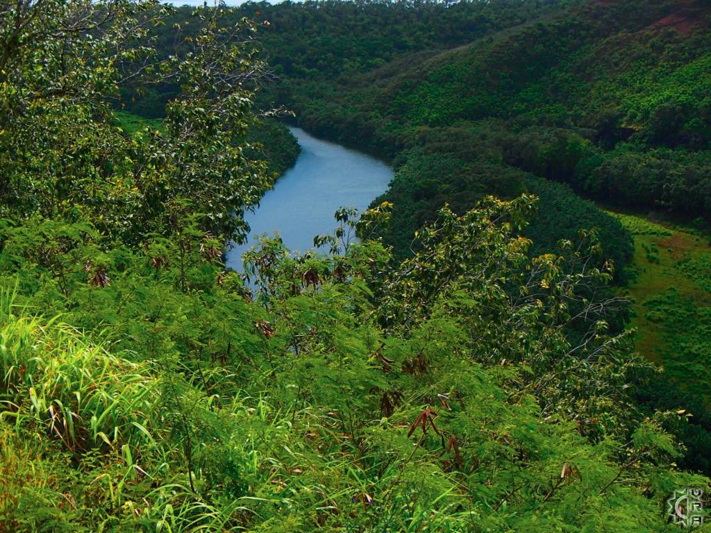
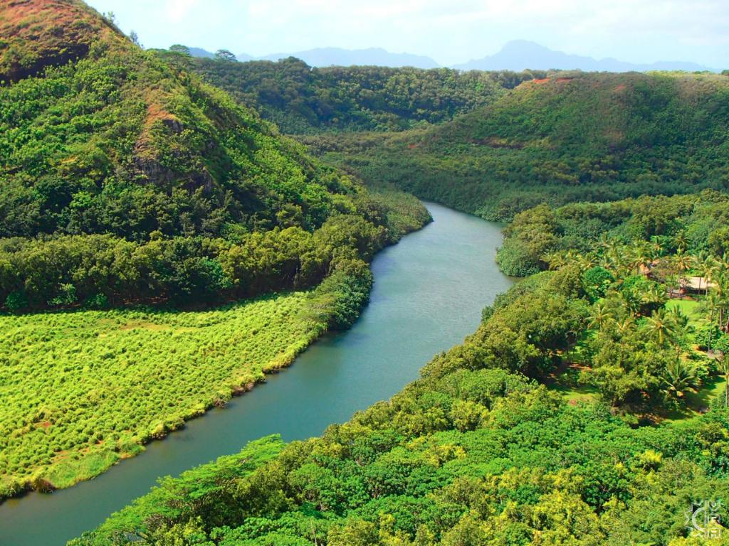
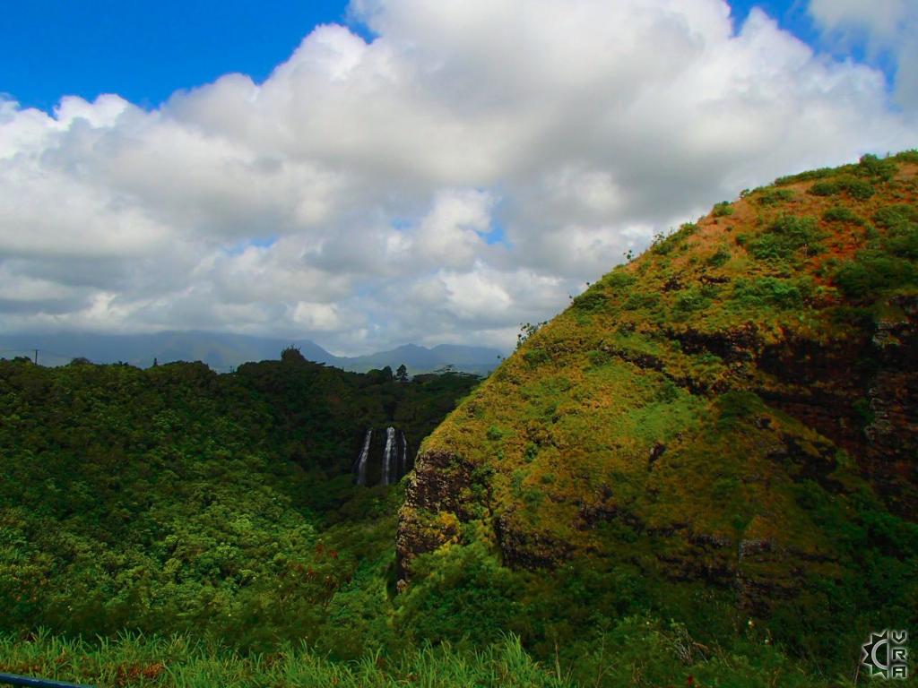
The upper portion of this over 150 foot tall waterfall is easily visible from a well-maintained State Park wayside. A short walk across the roadway also provides an epic view of the upper Wailua River.
Location:
Wailua, Kauai
Hazards!:
There is no hiking access to these falls due to steep hazardous terrain around it, pictures only.
Opaeka'a Falls has a drive up viewing area just 2 miles above the river crossing of the mouth of Wailua River, making it one of the easiest waterfalls to view on island.
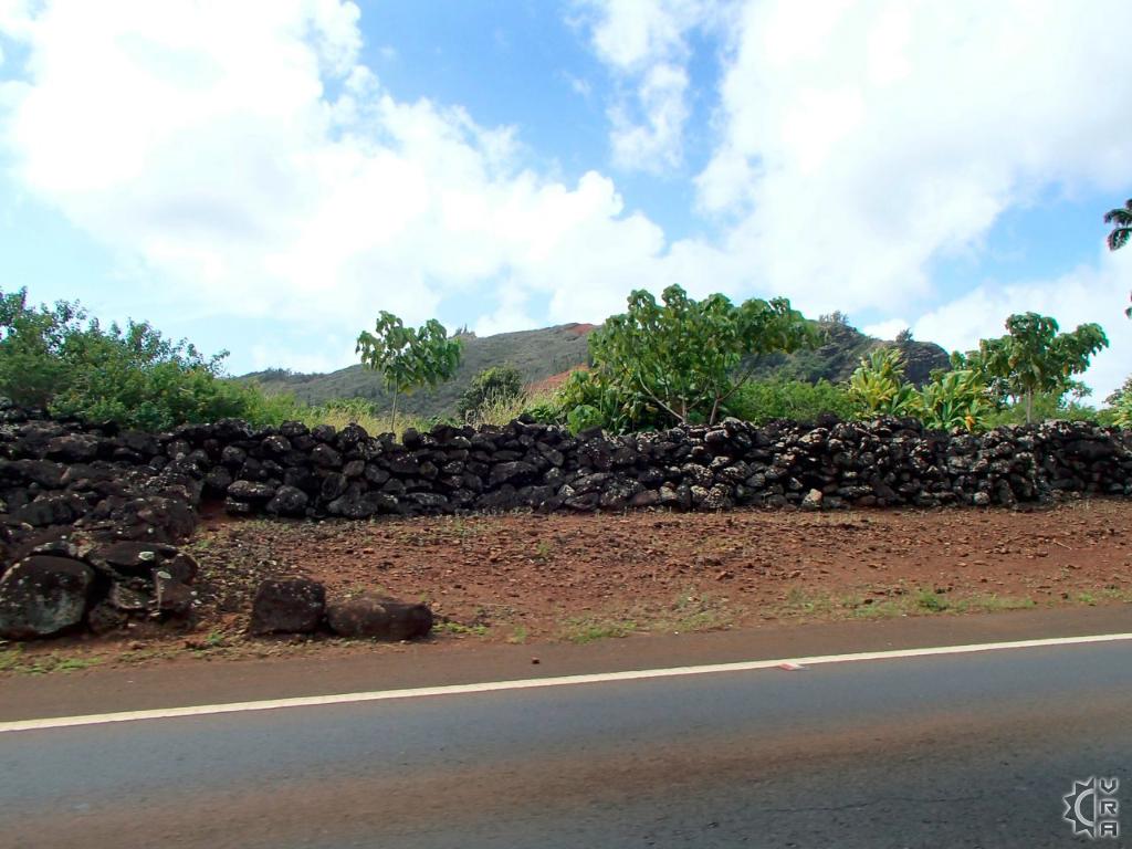
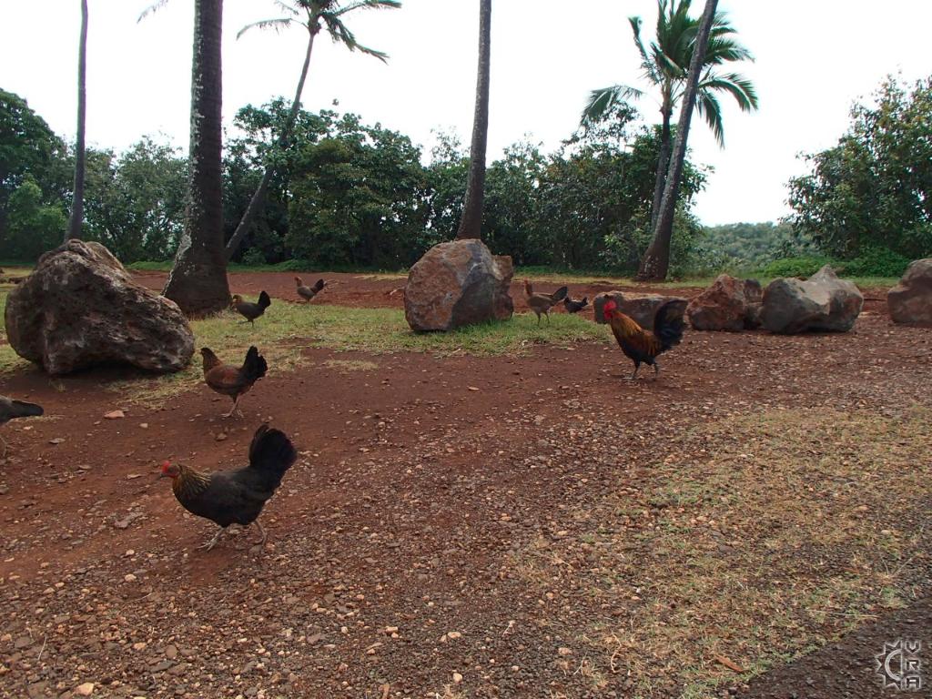
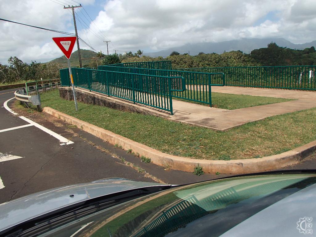
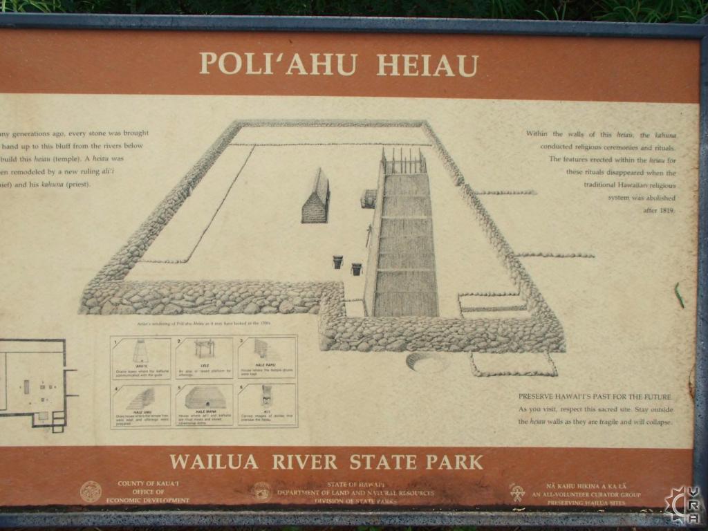
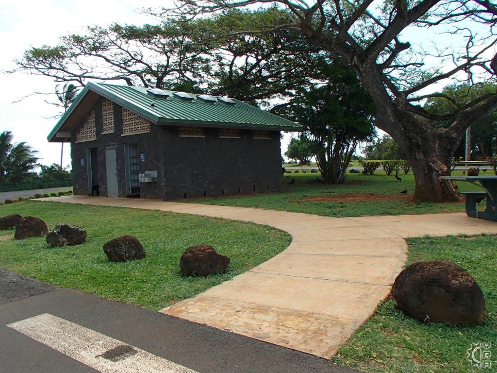
Unfortunately the access trail to the waterfall was fenced off years ago for safety reasons. However, there are several areas close to this wayside that are worth the short walk to explore. An elevated wheelchair access ramp and a viewing platform is the easiest access to view the waterfall. Once you have taken in that view, cross the street and look at the upper Wailua River. Also across the street you will find a small coconut grove, chock full of roosters and hens with beautiful plumage and a Hawaiian stone temple. There is great signage that interprets these sites, so bring out your reading glasses.
Local's Tip:
After a visit here, drive 10 minutes to the very upper portions of the Kuamoo Road to visit the Wailua Arboretum. (Listed on our hikes section)
Directions:
From Kapaa: Head South on the Kuhio Highway, aka HI-route 56 look for the traffic light intersection just prior to the Wailua River Bridge and turn right onto Kuamoo Road. Drive approximately 1.5 miles up the road and look for the signs for "Opaeka'a Lookout" on the right hand side.
Map


