Makapu'u Point Trail
Description
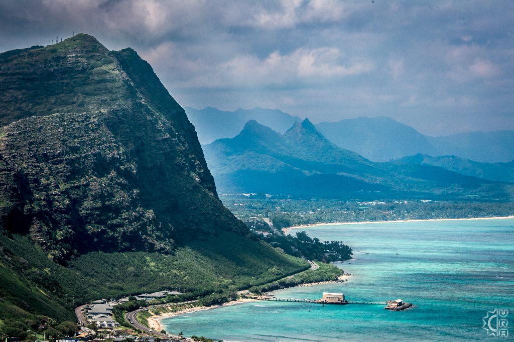
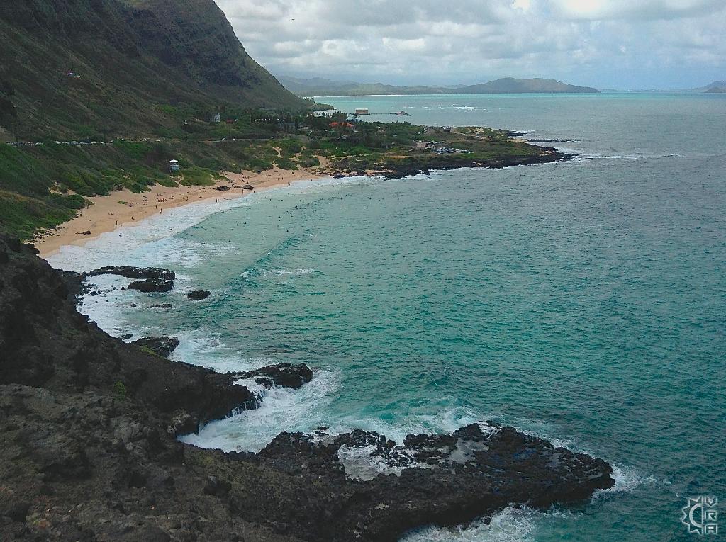
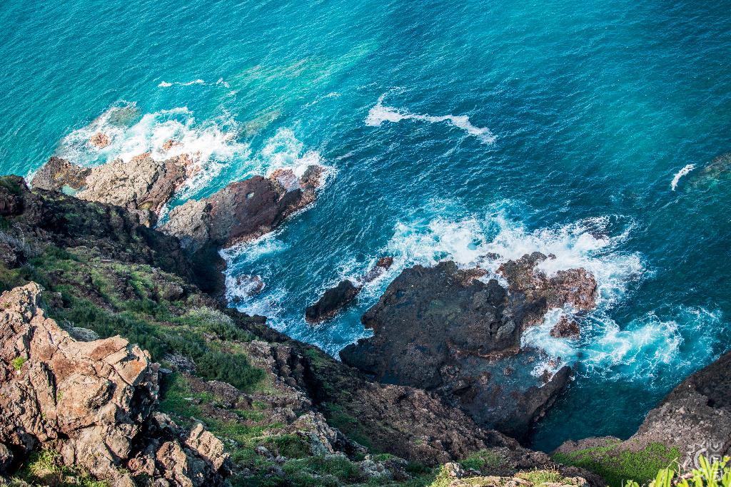
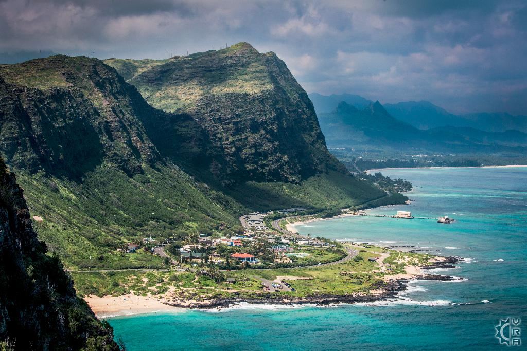
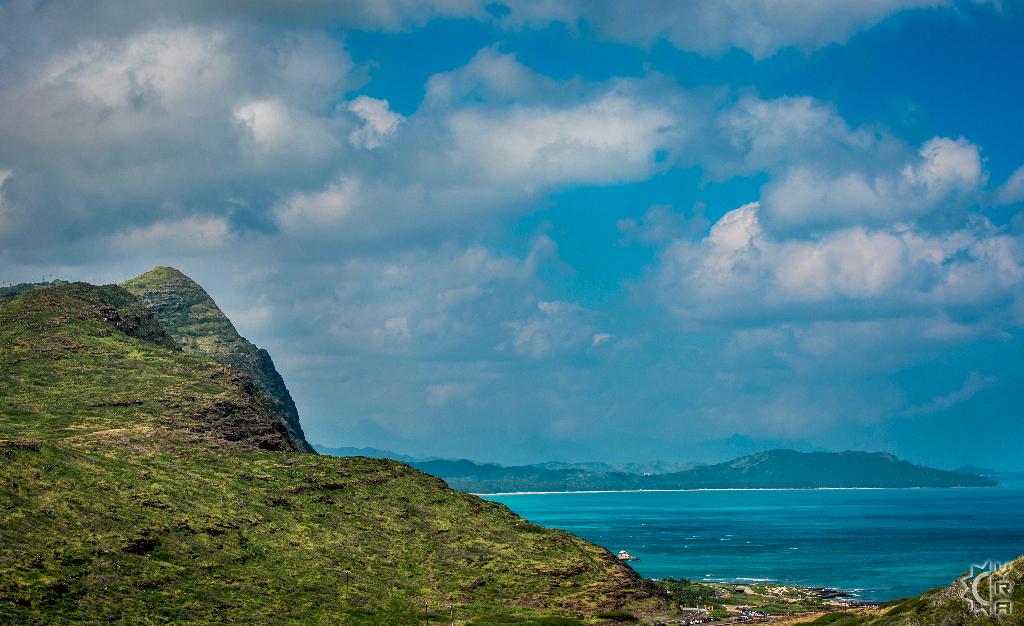
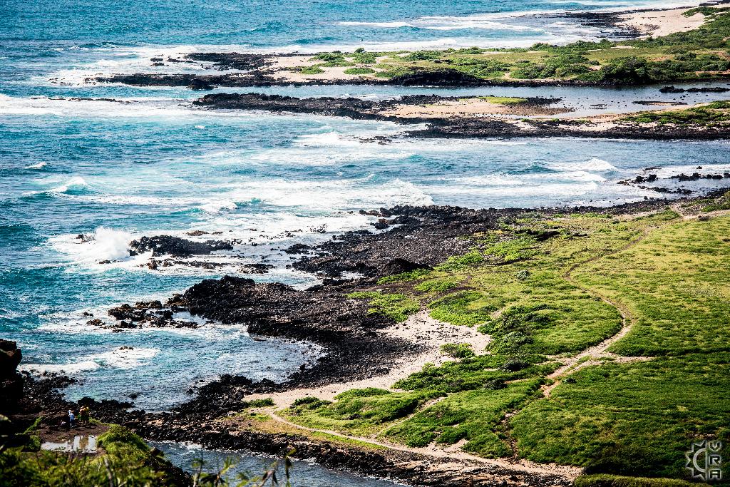
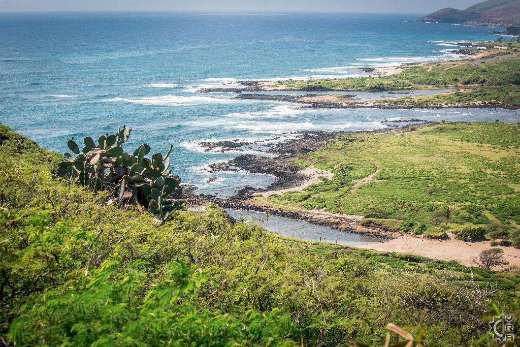
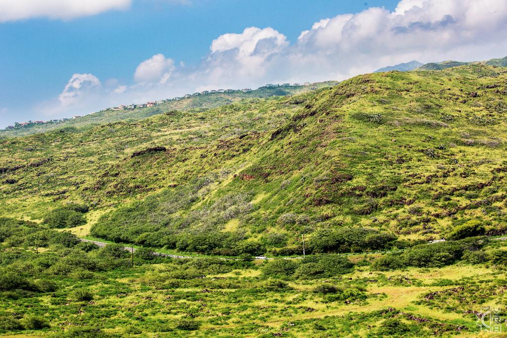
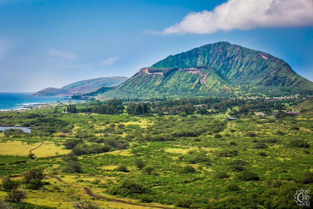
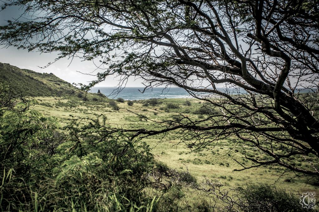
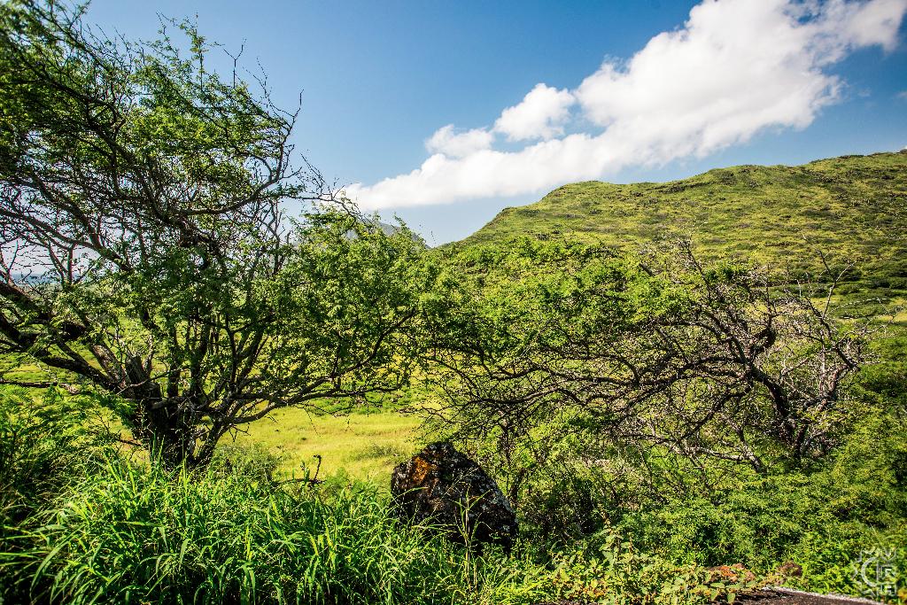
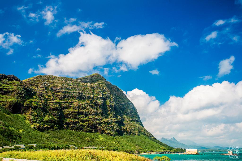
This trail ascends a volcanic mountain on Oahu's southeastern most point, providing panoramic views of the Waimanalo windward coast, and the south shore stretching along the Ka'iwi Scenic Shoreline toward Koko Head in the distance. The landscape is less lush, more arid and wind swept. It is also close to Makapu'u Beach and the Hawaii Sea Life Park, which can make for a great stop before or after your hike.
At a Glance:
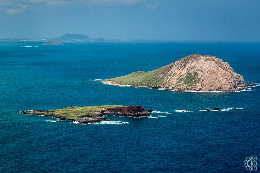
Highlights: Beautiful views of wide open ocean and the windward coastline with exposed lava rock cliffs and
Location: 10 minutes south of Waimanalo, 30 minutes east of Honolulu
Activity Level: Moderate to strenuous as the trail gains considerable elevation.
Equipment: Sturdy shoes, rain gear, water and food.
Warnings!: There are several trails that branch off the main trail into areas of terrain that are considerably more dangerous. Stay on the marked trail and avoid approaching cliff edges and watch your steps.
Reservations: None needed
Cost: No fee
Where to Start:
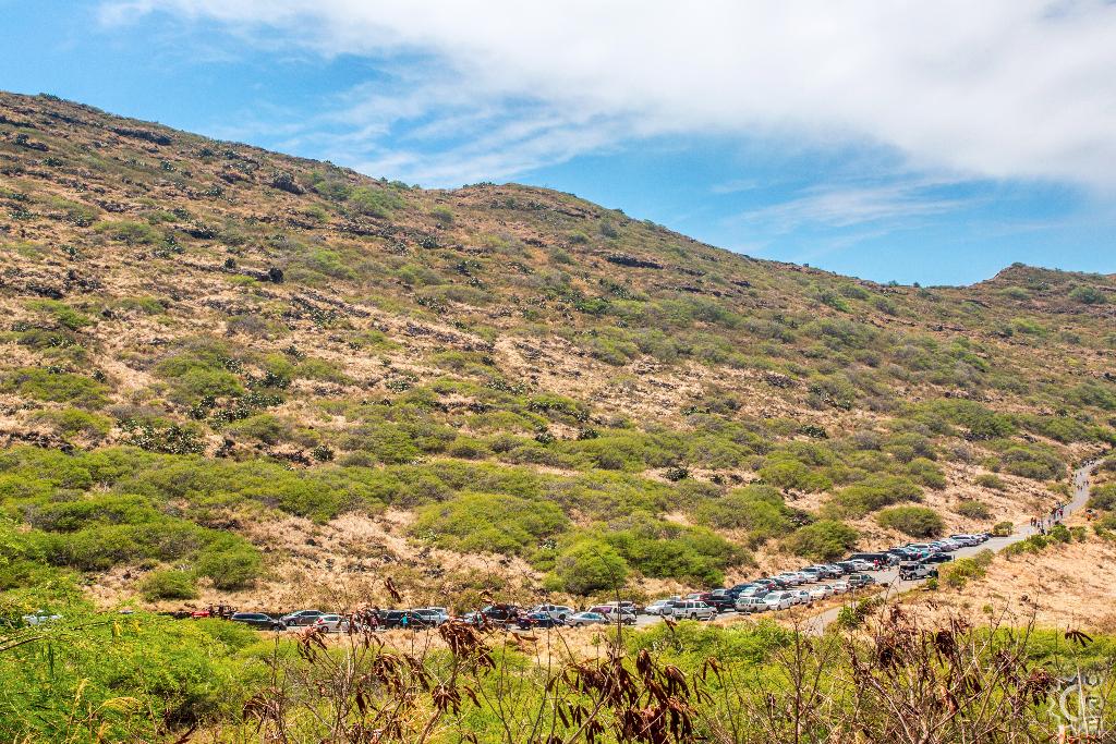
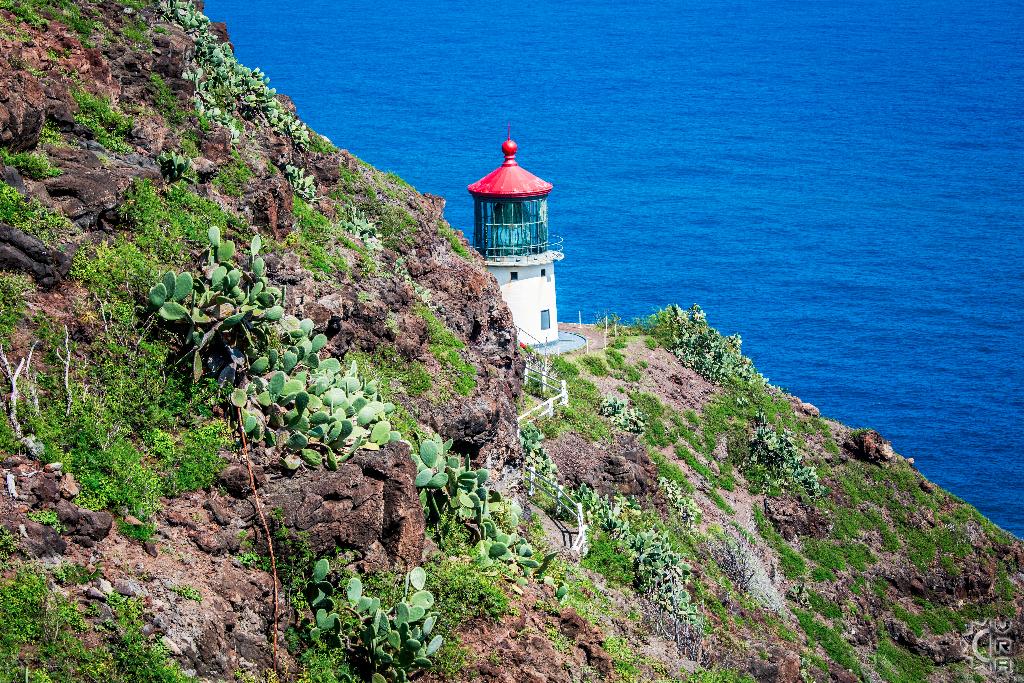
There is a paved road for "Kaiwi Scenic Shoreline" area that leads to the trailhead adjacent to the scenic highway look out. This trail is popular amongst visitors and locals alike, so there is usually a considerable crowd on the weekends. This can work to your benefit if you are new to the trail as you can easily follow the flow of people up the paved walkway to the summit lookout. There is no shade during the hike, so come prepared with hydration, and sunscreen. The travel time to the summit can be as short as 30 minutes, but you will gain several hundred feet of elevation, so 1 to 3 hours is recommended for the round-trip of 2 miles. From the summit you can look upon the red roofed Makapuu Lighthouse constructed in 1909, the lighthouse is off limits but makes for a great picture.
During the "whale season" from November through April you might be lucky enough to see whales along the coastline, from this elevated vantage point. On clear days, you might even catch a glimpse of the island of Molokai to the east. The consistent winds in the area also make for good paragliding, and parasailing. You might catch a glimpse of a glider or two as you experience you Makapuu Point hike.
Directions:
The park and trailhead are located off of the Kalanianaole Highway (Hwy. 72) at the southeasternmost point of Oahu.
From Honolulu: take the H1 freeway east until it becomes Highway 72(Kalanianaole Highway). Follow the road beyond Hawaii Kai, Hanauma Bay and Sandy Beach Park until you reach the park area adjacent to the highway on the right with the signage "Kaiwi Scenic Shoreline" in yellow lettering on brown wooden sign.
From the windward side: take HI-route 72 aka Kalanianaole Highway heading south through Waimanalo, past the "Sea Life Park and Makapuu Beach Park follow the road as it winds up hill climbing along the cliff bottom and gaining elevation look for the turn ahead for the scenic look out on left. As you pass the scenic lookout and look for next left into the Kaiwi Scenic Shoreline area, just past the brown sign with yellow lettering.
Map


