Drive the Hana Highway
Description
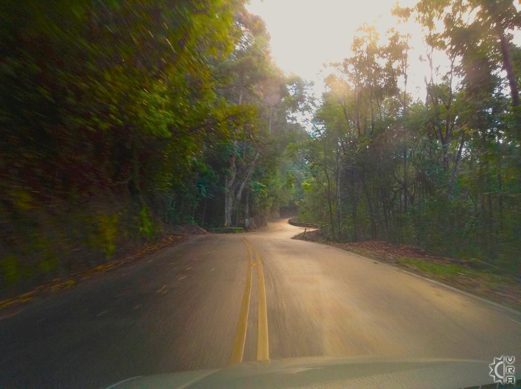
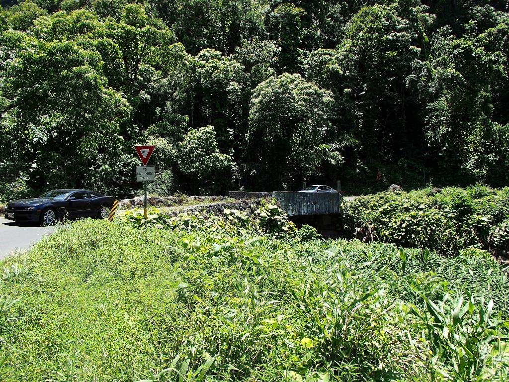
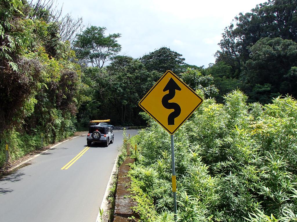
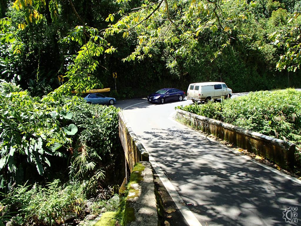
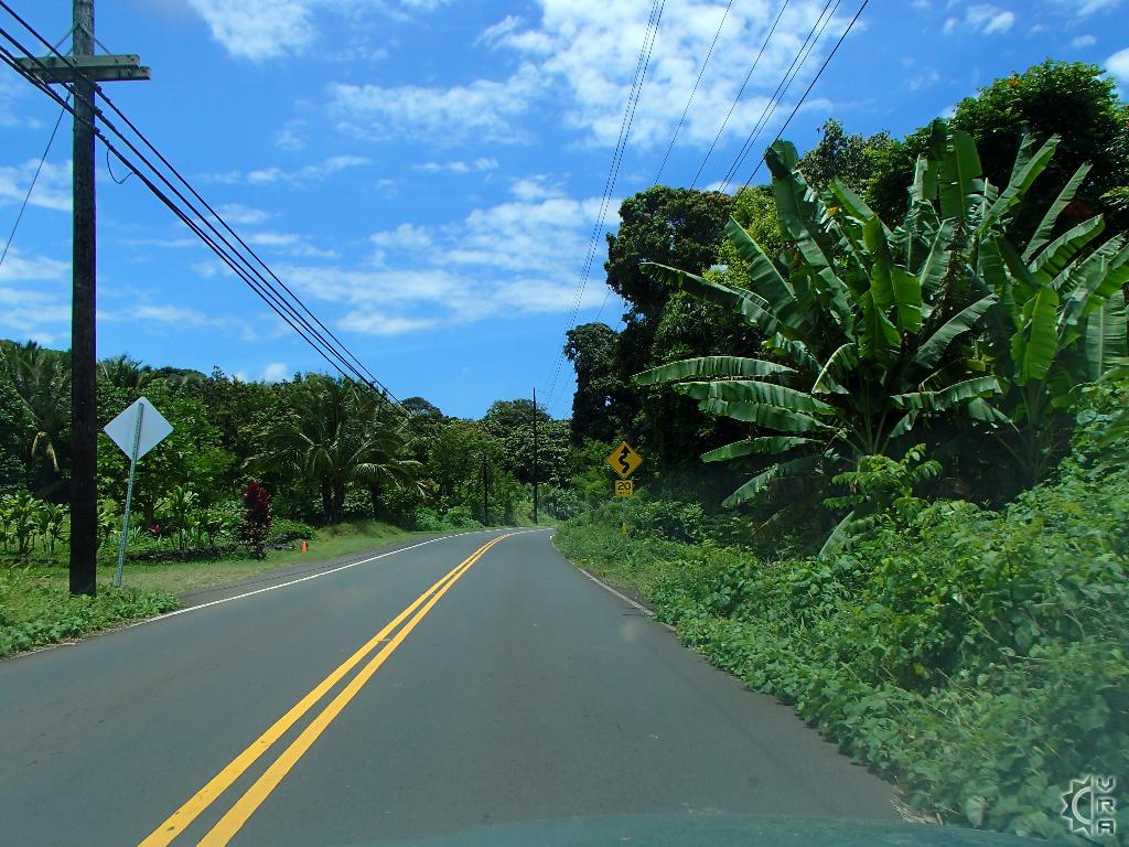
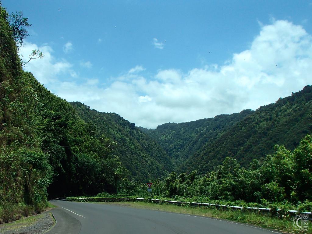
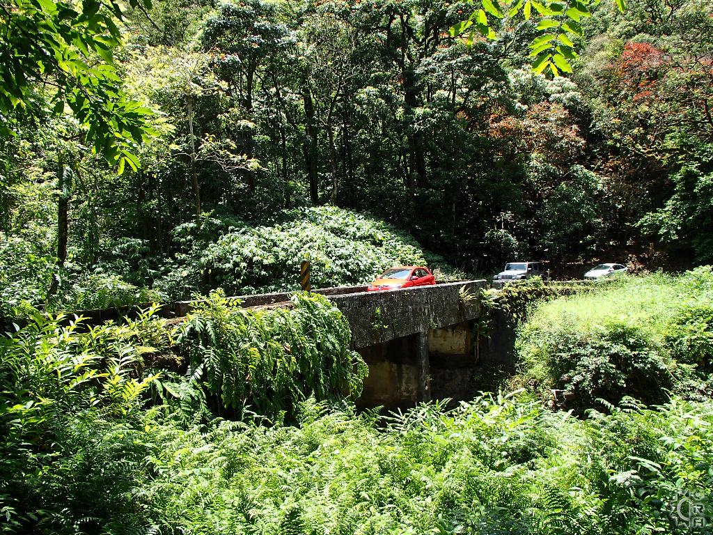
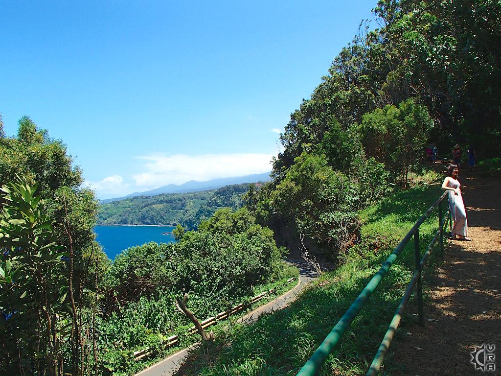
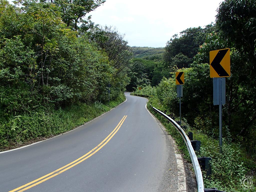
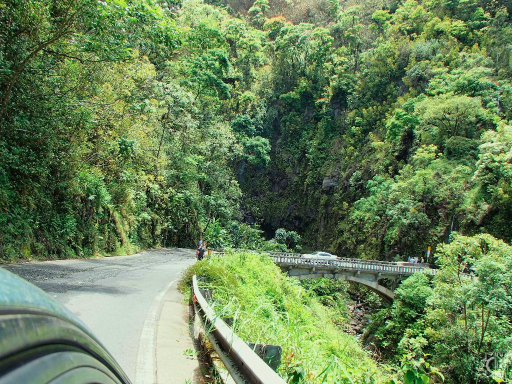
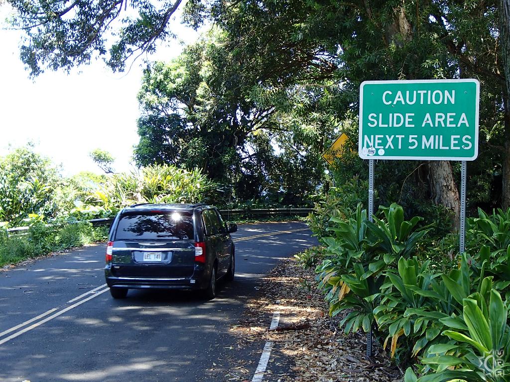
The historic Hana Highway is the most legendary road in Hawaii, not only as an engineering feat but also as one of the most beautifully scenic roads in the state. With 617 curves and 56 single lane bridges going just one-way to Hana, you will begin to realize that this road is a more about the journey then the destination. If you try to go to fast and see it all you will find the road can quickly wear you down and reduce your fun. Take your time and enjoy the ride and you will begin to get a deeper sense of peace as you explore this very special roadway.
At a Glance:
Highlights: The most beautiful scenic road on the whole island, and one of the best in the state. The windward Maui rainforest that surrounds the road provides endless photos and opportunities for exploring nature.
Options: Group van guided tour, private tour with guide or self-guided touring. There are many different kinds of Hana Highway tours research online to find your perfect fit. For great private tours contact Jay at Mauiadventurespecialist.com
Activity Level: Moderate to strenuous due to the windy nature of roadway
Preparations: Changes of clothing for the day, swimsuit, a camera, beverages and snacks. Dramamine if you get nausea from the drive.
Warnings!: There is very little cell reception in cases of emergency. Look out for debris on road such as rocks, or tree branches. Do not tailgate or speed!
Costs: A guided tour can run $125 to $250 per person, but there are no fees on the road. If you wish to shop with roadside vendors, bring some cash.
The Hana Highway is a bit of a living and breathing phenomenon, with hundreds of people utilizing it everyday for connecting rural eastern Maui with central Maui. You can see both tourists and residents trying their best to get where they are going, while maintaining their sanity. Here are some veteran tour guides top tips for getting into a successful Hana Highway groove that will make the day go more smoothly.
Top 5 Hana Highway tips:
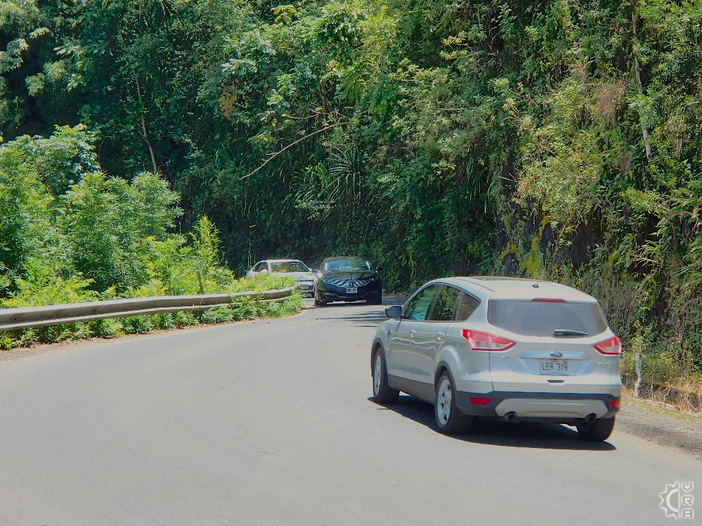
1: Get ready to pull over often. This is not a race, but residents have timetables to maintain and you do not, pulling over for faster traffic is a must. The bonus is each pull out has a scenic view, flower, or waterfall to check out. Pulling over and not being the "leader of the pack" creates many more picture opportunities that the "speed racers" never have a chance to see.
2: Pace yourself: The primary way to maintain sanity for your tour of Hana is to make a consistent flow for breaks, explorations and pictures. The drive to and from Hana is a 100+ mile endeavor, 60 miles of which are extremely curvy, some stops every few miles, allows you to minimize road stresses on your passengers.
Locals tip: About to make a stop but you see one or more tour buses at the location, try to skip ahead and make it a stop on your way back.
3: After mile marker 3, put your car in a low gear: Being the driver on this road is stressful enough, stopping and braking weaving and curving can reduce your relaxation and give you and your passengers hyper-tension. Putting your automatic transmission car into a lower gear below "D" will let the cars gearing help you pace yourself and keep you from having to hit the brakes to reduce your speed.
4: DO NOT tailgate! This road is too dangerous to be following closely behind another vehicle. They may have no clue what is around the next bend, and will certainly skid to a halt for something unexpected such as an object in the road.
Best locals tip: If someone is tailgating you, especially aggressive locals in a hurry, then politely pull over. Don't let stress rule your drive or mess with your vacation fun factor.
5: If the road gets stressful, pull over and take many "mini-breaks": There are no medals awarded, nor record times to beat when it comes to the Hana Highway journey. It will be a far more enjoyable day if you slow it down. Your vacation rental will be there no matter what time you get home. Some of the best Hana days occur when you take a few out of the car variety rest stops.
Starting in Paia:
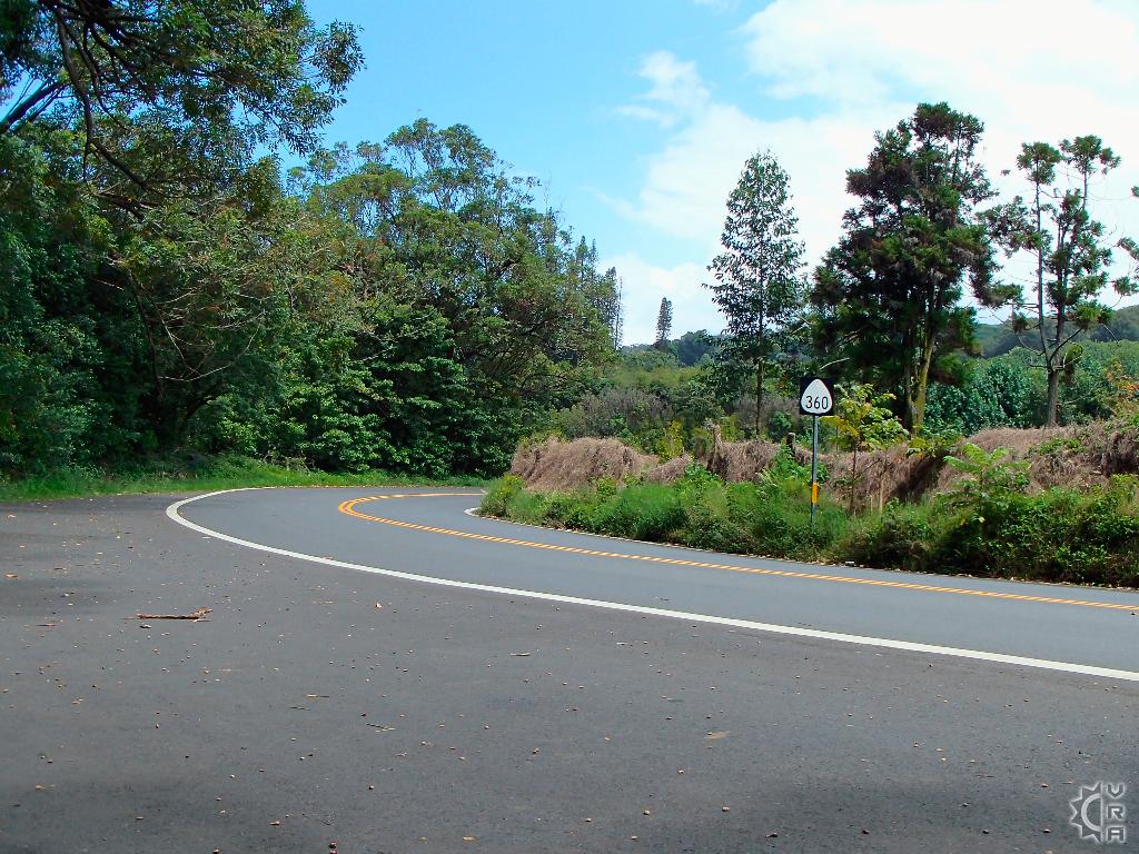
The first and last bit of civilization on the Hana Highway drive until you reach Hana. A good coffee or breakfast town, or dinner on your way back. Several beaches including Baldwin Beach and Hookipa Beach Parks, are in the area and make for a good start or finish to the Hana journey. Check your supplies, water, snacks, food, and gas are not ready available until you get to Hana which is 40 miles away. There are stores and a 2 gas stations in Paia town, what you do not buy hear gets harder to find and more expensive down the road. Heading East out of Paia on HI-route 36 the road mile markers will climb from 7 to 16 all the while driving through country residential areas. As the road curves sharply and descends then curves uphill and straightens out, you will notice the mile markers have reset to zero and now you are on HI-route 360 the Hana Highway Scenic Heritage Drive. The segments from now on are broken up by these new mileposts. The Hana Highway journey begins: For the purpose of being able to break down the full Hana journey into portions that are easily used forward or backward in planning your day to Hana. This portion is written in sections delineated by mileposts
Mile 0 to 2: Twin Falls
The road straightens out and speed limit rises briefly, you will then slow down at mile post 2 for the pedestrian congested area around "Twin Falls". This spot is amazing, but skip it in the morning on your way out and you will get ahead of all those cars you see parked in the lot. Make "Twin Falls" a separate day trip or utilize it as a fall back if your trip to Hana has to turn around. It is an amazing spot and worth follow up, but will slow your roll if the goal is Hana in a day.
Mile 3 to 7: The major curves begin
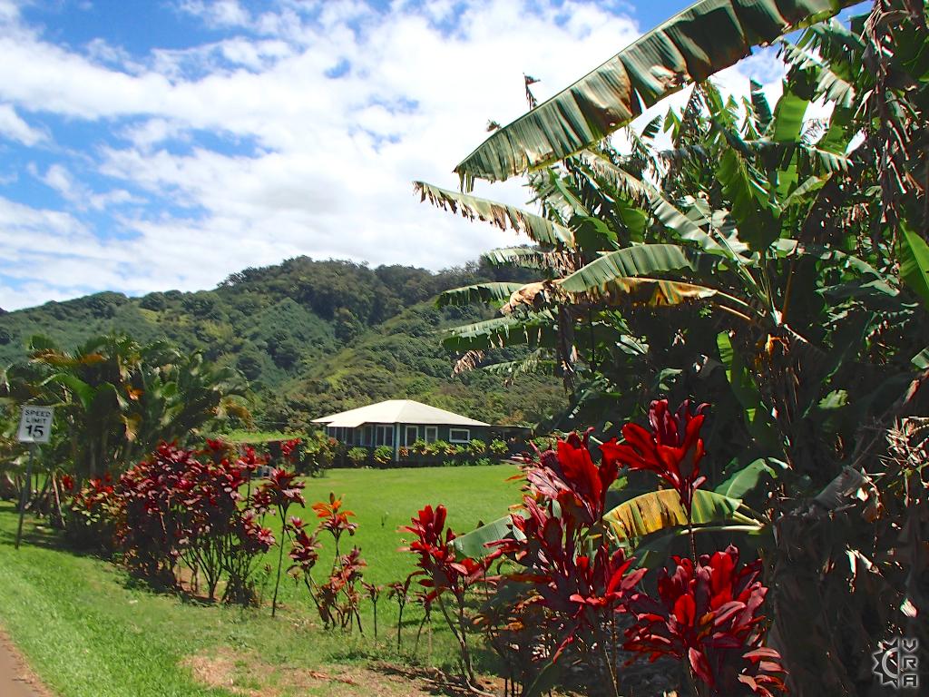
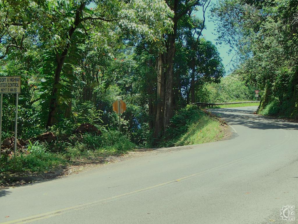
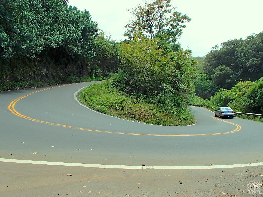
The road has revealed its' curvy nature at this point, best to drive slow and put the car in a lower drive gear. The small residential area of Kailua is the stand out in this section. The folks living out here support the massive aqua duct system that was built for the sugar cane plantations. You will see several of these rock walled open ditches carrying water next to, or below the road. Warning! Look out for the hairpin turn between miles 6 and 7, just after a huge yellow curve sign marked "15 mph" . Go slow, in low gear and use your horn to warn on coming traffic. The pull out just past the hairpin turn heading toward Hana is for the Bamboo Forest hike. If the bamboo forest is packed, drive past and check out the striking Rainbow Eucalyptus on the roadside at several locations in the next mile, but pull of the road safely to do so.
Mile 8 to 11: Entering the rainforest
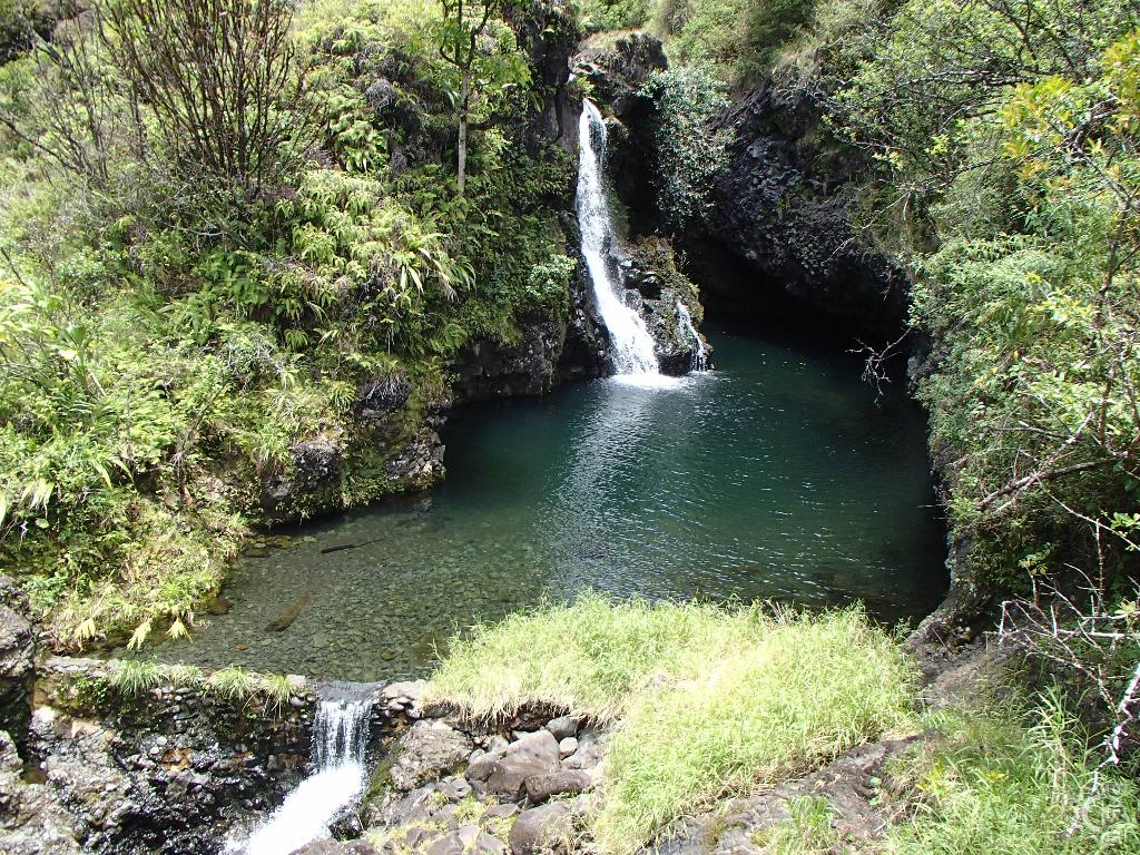
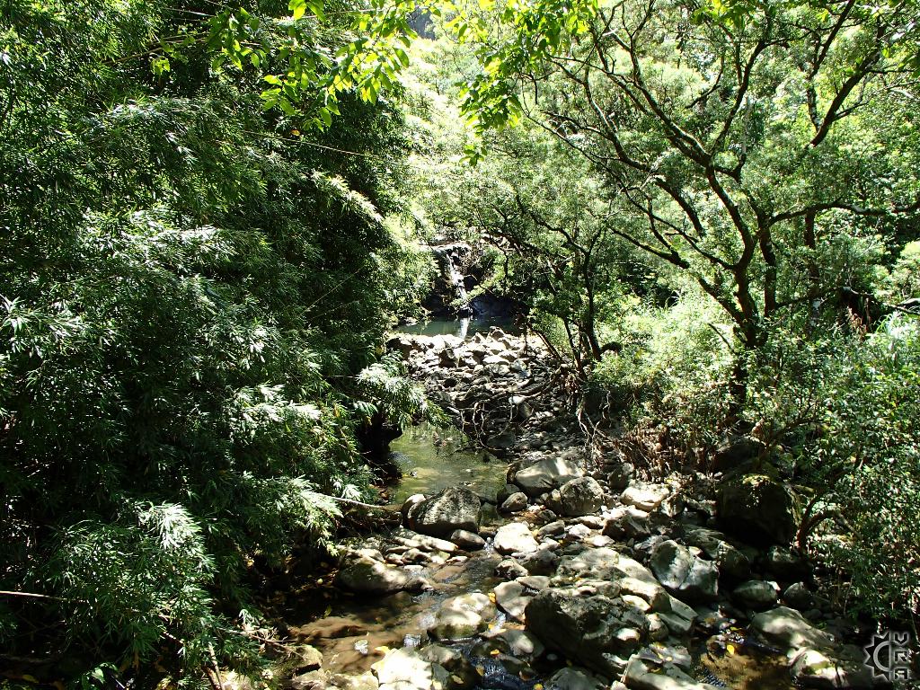
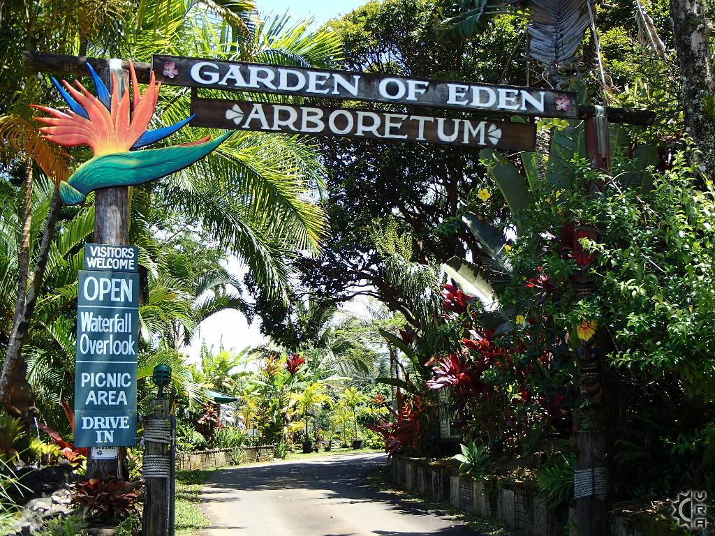
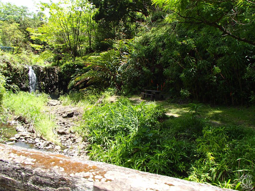
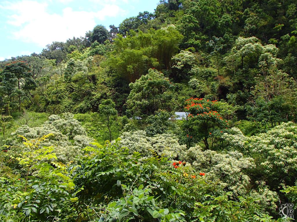
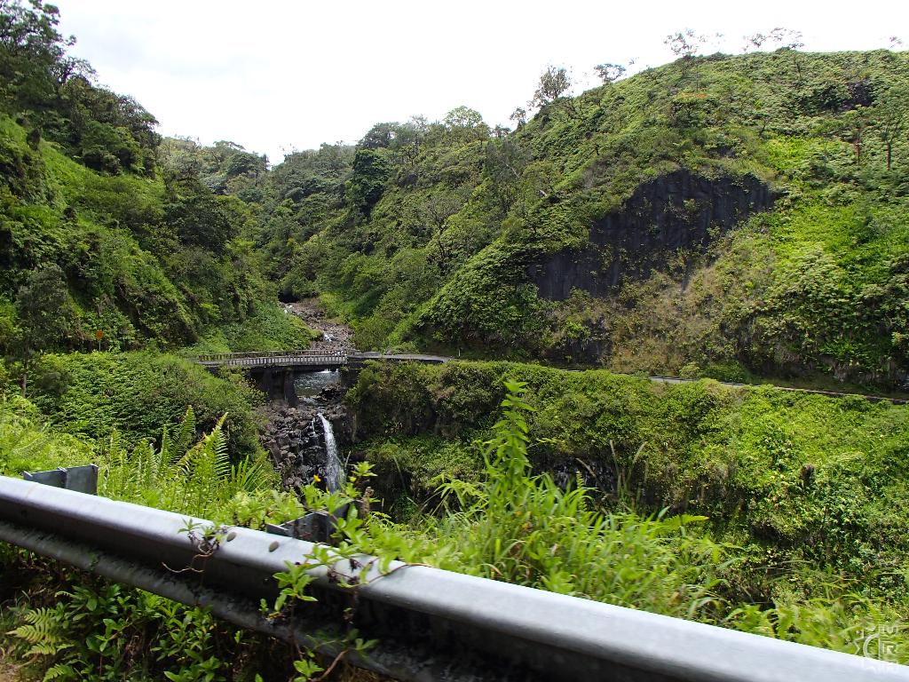
The road is showing its true nature, the curves never end, but neither does the scenery. These miles mark some of the most beautiful stretches of the roadway. There are many pullouts for safely taking a break to look at the wondrous nature you are driving through. The bridge near mile marker 10 provides a short walk to a waterfall, just watch for floods. A true stand out in this stretch of road is the "Garden of Eden Arboretum" just past mile marker 10. The 30 acre site has some of the best tropical flowers, walking trails, and foliage of any location along the Hana Highway. The $15 admission is a pretty good deal compared to the high cost of most activities on island. There are picnic grounds and secure parking, so if the road is wearing down your crew, perhaps this stop will make for a good relaxing recharge. Just past the Garden are two different gulches spanning streams and accessing waterfalls. Just be aware of the flash flood potential of these streams and avoid them when flooding.
Mile 11 to 14: Hanamanu Bay, and Kaumahina Wayside
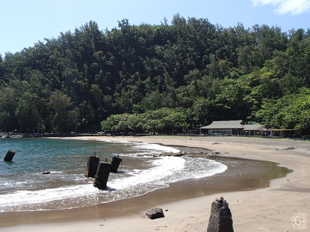
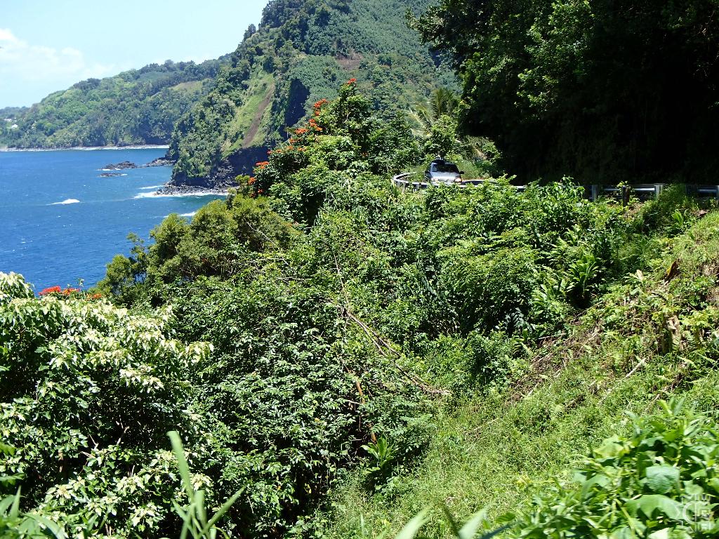
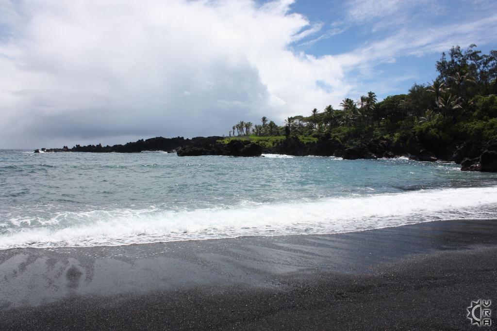
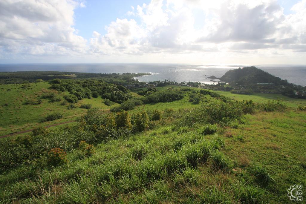
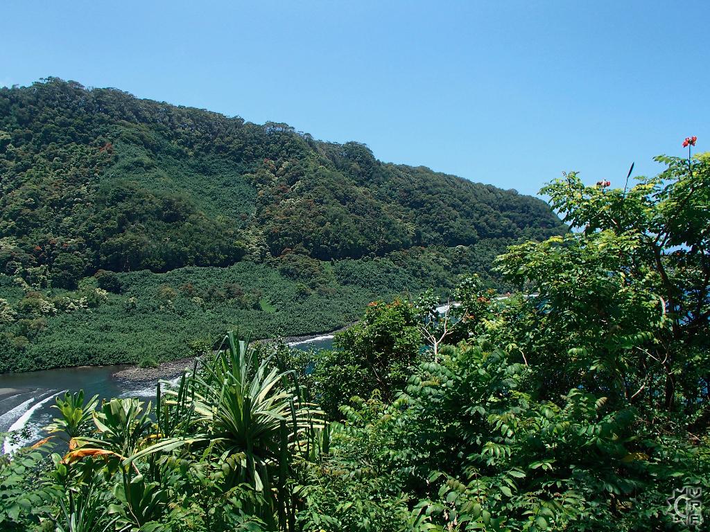
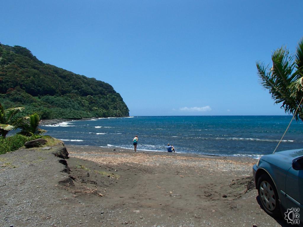
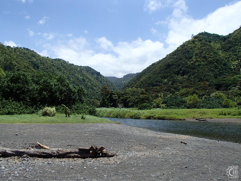
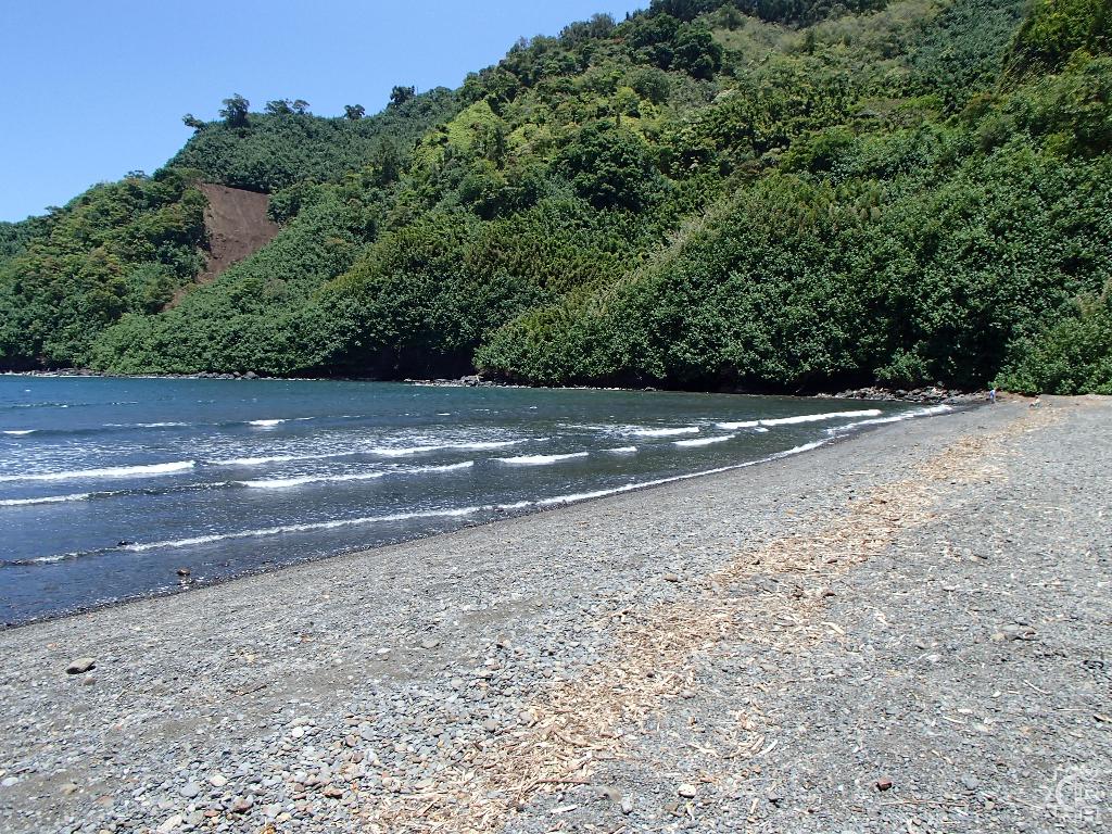
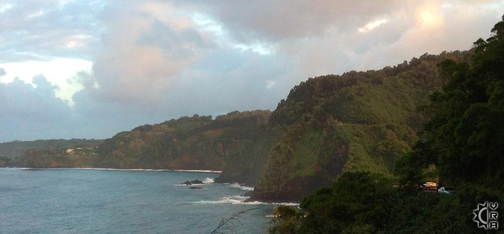
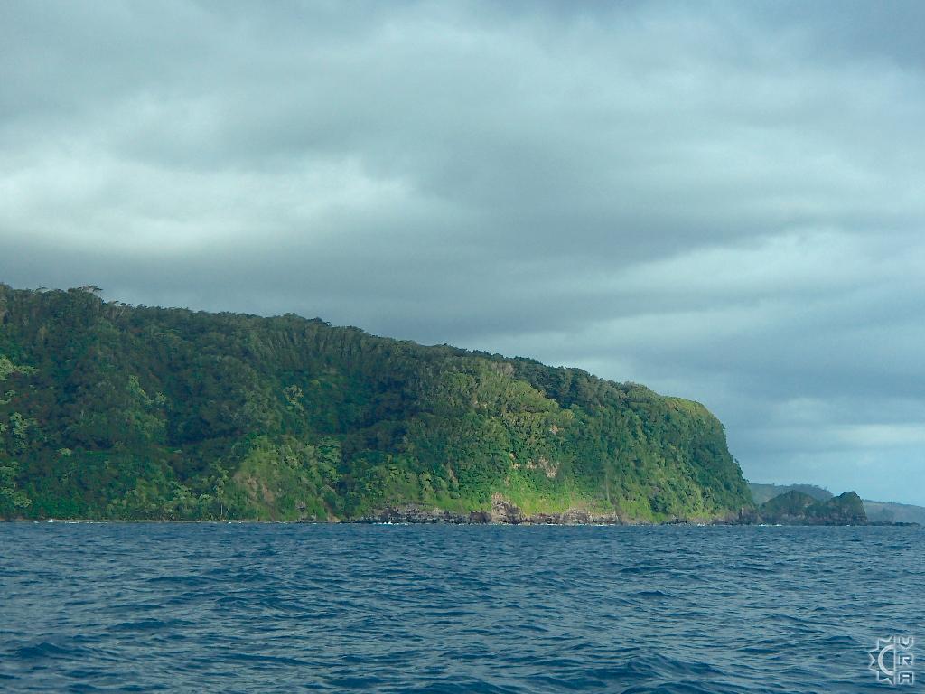
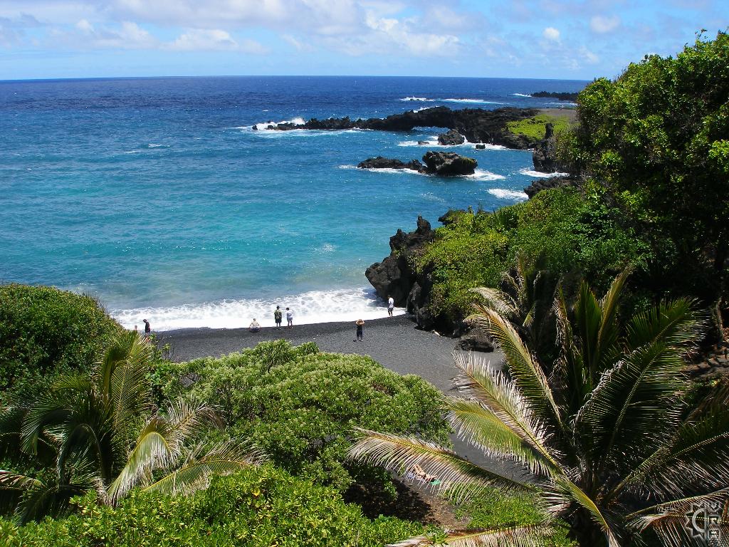
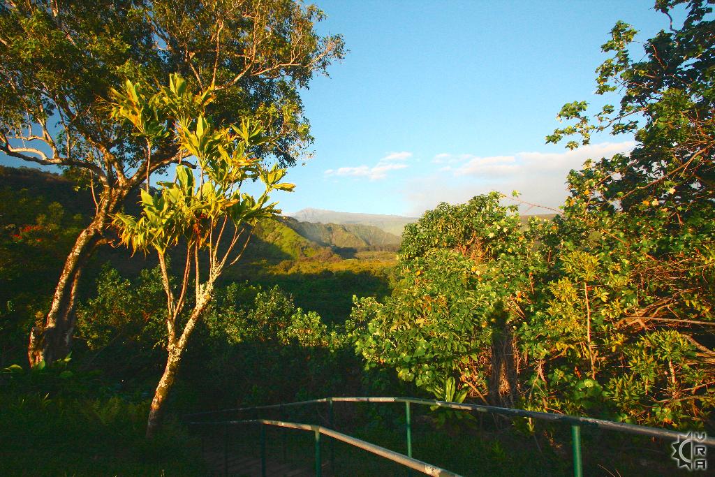
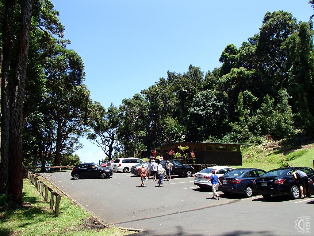
The Kaumahina Wayside is a great pull out to access how the road is treating you. It is just past mile 12 and prior to 2 big gulches that will test your patience and driving skill. The wayside has a stunning view of the coast ahead, allowing for great pictures and a chance to look at the weather to come. Public restrooms and picnic tables are available for use. After the wayside as you begun to wind into the Hanamanu Valley, you are entering some of the most beautiful views of the entire roadway. Be cautious and use a little horn around the blind turns to warn cars ahead. If in doubt the best thing a tourist can do is to slow down pull to the right and stop briefly to allow the uphill traffic to pass you slowly. As you descend into the valley you will see the black and grey sand beach fronting the ocean. This is a great spot to stop, but most people fly by it unaware. When you cross the bridge at the bottom of the valley and drive uphill, look for mile marker 14, the road to the beach is on the sharp left 100 feet past mile marker 14. A small paved to dirt road goes 200 yards toward the coast and deposits you on this remote beach. With no lifeguard on duty, the safest swim is actually in the fresh water stream that meets the ocean here. Enjoy a break from the road and some refreshing ocean breeze until your ready for more winding highway.
Mile 15 to 17: Keanae the deciding point
The next valley past Hanamanu has the road stretching out straighter and traffic speeds up. Careful that this momentum doesn't push you past the upcoming sites. The scenic pull out just past mile 16 at the top of the hill climb is a great look out. Pull aside, look out for traffic and walk over to the guardrail for a view. Continuing down the highway you are coming to the Keanae Arboretum hike and the turn off for Keanae peninsula and bicoastal views. All of these should be explored and it allows for some goodtime out of your vehicle. As you continue out of Keanae on route 360 make sure to visit the lookout just past mile marker 17, the view of the peninsula is like a window back in time.
Mile 18 to 21: Wailua Village and the climb into the forest
After leaving Keanae you will drive through some residential areas and eventually climb slowly uphill along a stretch of road featuring several scenic pullouts on both sides of the road. Visit them to stretch your legs and shoot a few pictures before the windy forest section of road ahead. The waterfall bridges are often congested with tourists when heading out to Hana. Remember these bridges and stop on the way back when there is more room to park and take your pictures safely.
Mile 22 to 25: Tall forests and lush gulches
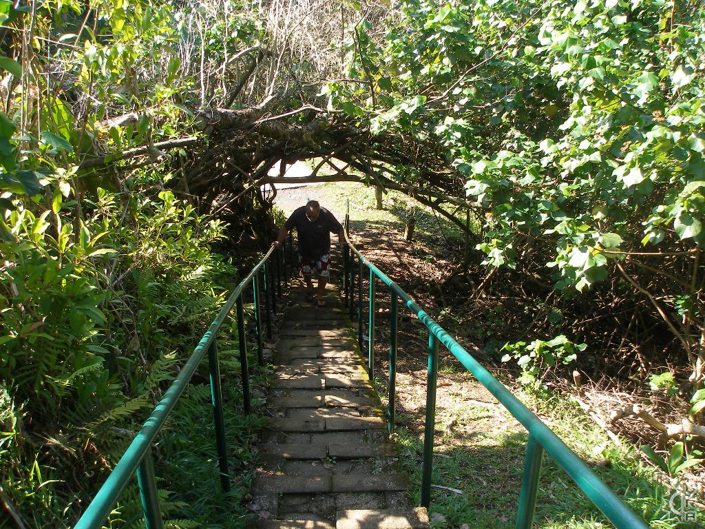
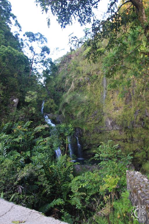
Driving this next portion of the road you will see the trees get larger and the signs of civilization disappear. The state manages this forest around the road and the tall trees are mostly Eucalyptus, with some native Hapu'u tree ferns visible on the hills below the road. Caution to go slow in this section as there are many "blind curves" and the bridges are often short and narrow. There is a state wayside with restrooms in this area as well, the paved walkways across the street from it lead to a set of picnic benches and a waterfall view. Slow down at the bridge near mile marker 24 to catch a glimpse of one of the most beautiful waterfalls on the whole drive.
Miles 25 to 30: Almost to Hana: Nahiku
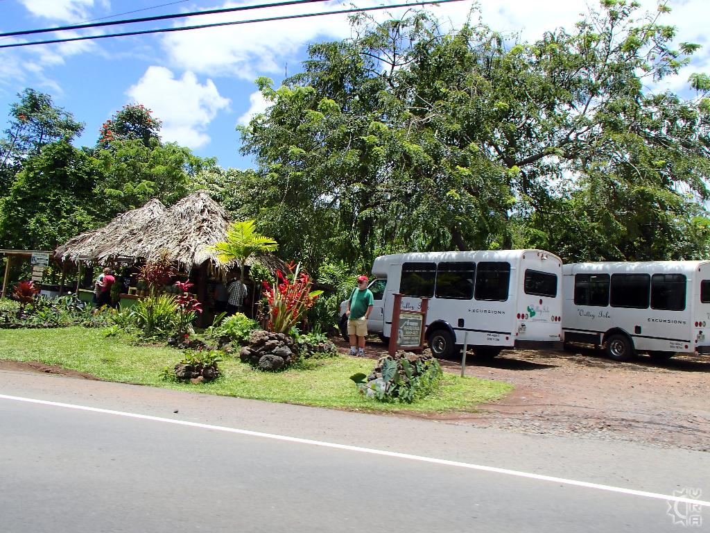
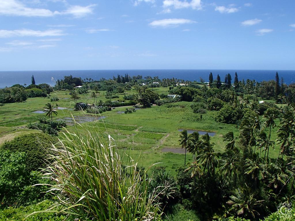
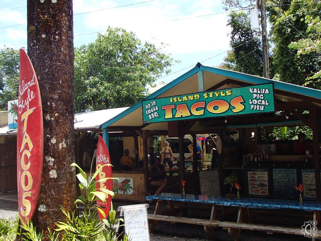
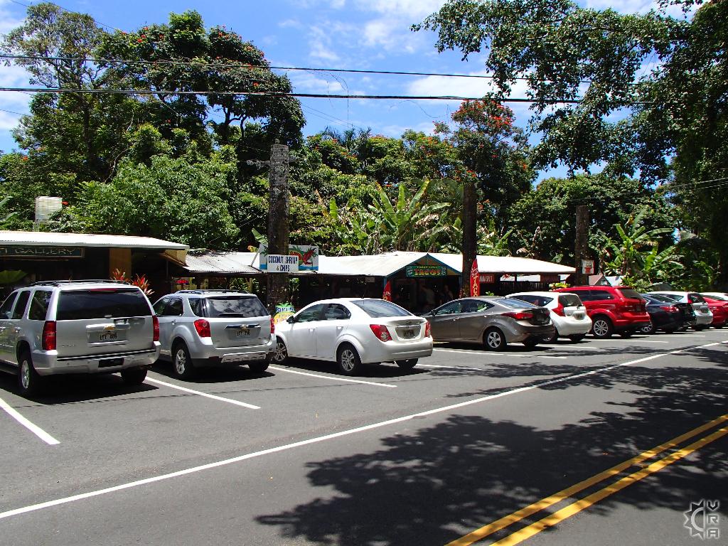
After many miles of forested roadsides, the view toward Hana and the ocean reveals itself. You are entering Nahiku, the wettest district along the highway and the character of the forest changes yet again. Parts of this section are residential, and some of these residents have figured out that a roadside stand to share their crafts, flowers and produce can bring a little extra income. The cute self service fruit and flower stands make for good pictures, and if you are getting hungry or road weary get ready to take a break at the "Nahiku Marketplace" just before mile 29. It is home to several local eateries, with a particular highlight being the taco stand. Try the fresh fish tacos Sunday through Thursday. There is also a shrimp truck, Thai food, gift shop, and Coffee shop to fuel you up before the Hana fun starts.
Miles 31- 35: Welcome to Hana
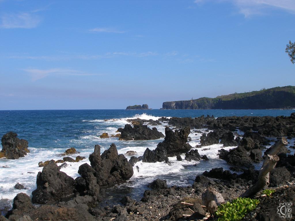
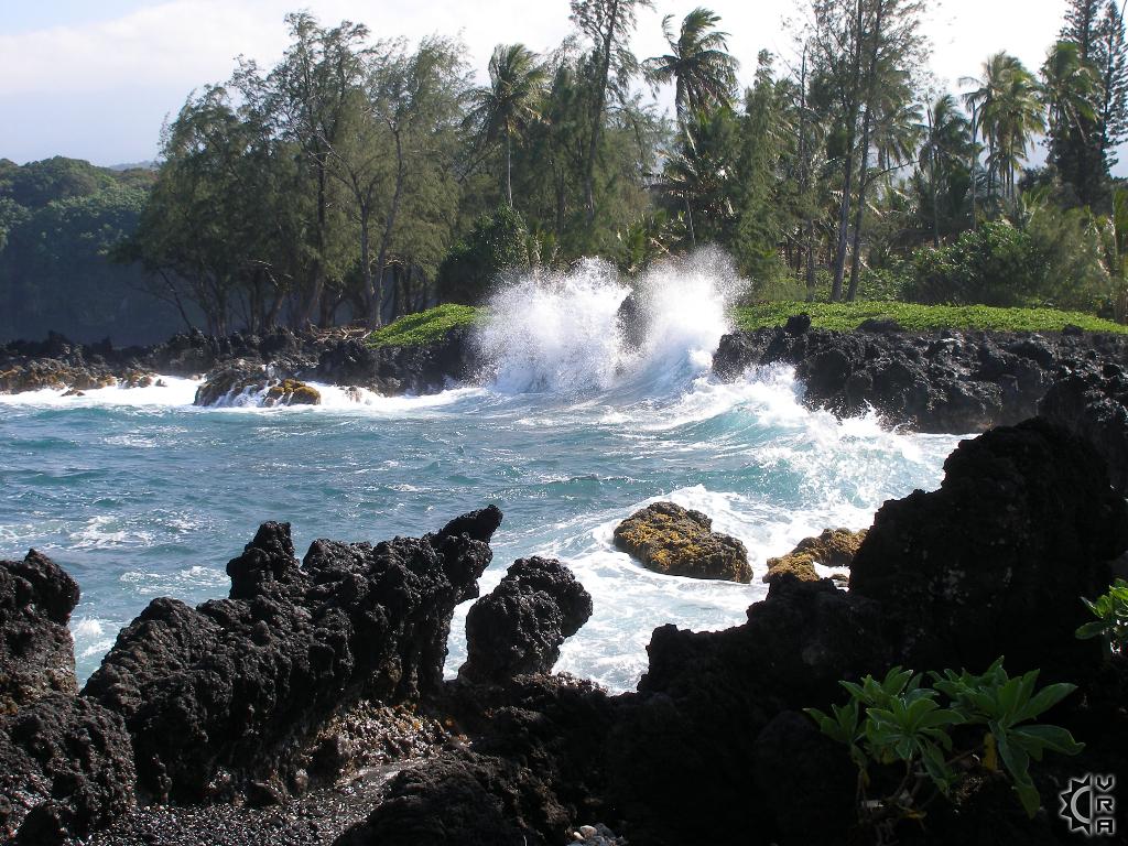
The roadway now begins to look more and more residential, as the miles count up you are entering both the district and then the town of Hana. No traffic lights, no fast food chains, no commotion, just local Hawaiian charm and a reflection of life in old Hawaii in a town that exists in its own time. Slow your role and enjoy the break from the winding road. Signs point out botanical gardens, fruit stands, and historic sites for guests to explore. A must-see before the town is near mile marker 32 is the black sand beach "Waianapanapa", this state park is worth 30 to 45 minutes to explore lava caves and and sea arches. There is no admission fee and public restrooms and picnic tables.
Hana town sites:
1. Hana Bay: Following the roadway into town, you will come to a crossroads. Make a left and drive the roadway along Hana Bay and beach. Remnants of the old piers that allowed ships to supply the district before the roadways existence sit amidst glistening blue water. This is the safest ocean access in Hana and there are picnic pavilions, showers, as well as a snack shop and restrooms. You might even catch a glimpse of families celebrating, or a canoe team practice for some modern day Hawaiian culture.
2. Hana Cultural Center: This small museum has interpretive exhibits educating visitors about the culture and history of Hawaii and of Hana town. Open Monday through Thursday and sometimes Fridays 10 am to 4 pm. From Hana Bay turn right at the stop sign heading uphill and it is on the left in 100 feet.
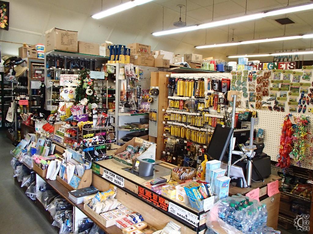
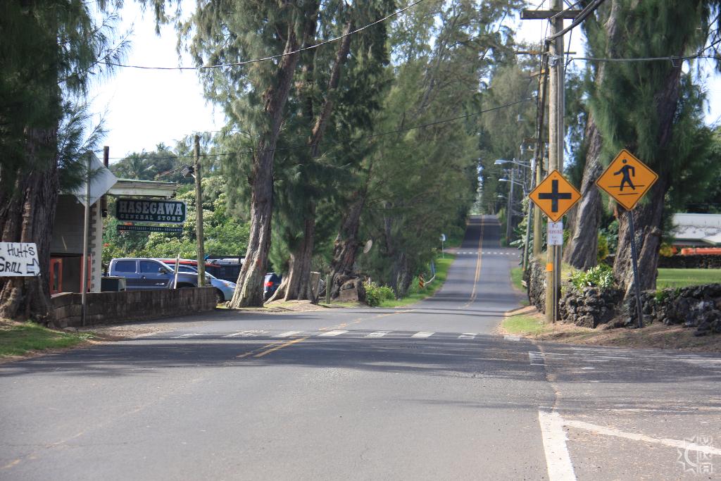
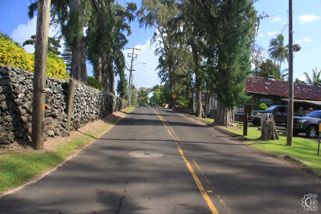
3. Hasagawa's Store: The little store that has any and everything from souvenirs to fish tackle and medicine to picnic supplies. This family owned business has been a staple provider for this community for generations. Try stopping in if even for a look. It is on the main street in town near the gas station.
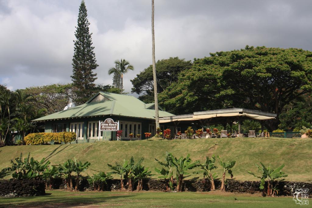
4. Hana Ranch Restaurant: The only sit down eatery in town just up the hill across from Hasagawa's.
5. Fagan's Cross hike: Stunning view of Hana and the ocean.
Map


