Olinda Forest (Waihou Springs Trail)
Description
Nestled below the cloud line of Mount Haleakala at 3,820 feet of elevation is a 186 acre grove of pine trees with a looping trail that provides peaceful walking amidst the songs of birds and cool mountain air. The Waihou Spring Forest Reserve was created by a proclamation from governor of the Hawaiian territory in 1909, and the modern day populace likes to use this cool refreshing upcountry trail loop for exercise and trail running. The air at this higher elevation provides a great change of climate for an afternoon walk in the forest, and is only 10 miles from the beaches of the North Shore.
At a Glance:
Highlights: The fresh pine forest air invigorates as you walk the winding trail through a forest floor covered in red pine needles. The relaxing loop hike is good exercise without being strenuous, and is family friendly.
Activity Level: Mild to moderate. 1 to 2.4 miles round trip depending on trail choices.
Location: Near Makawao town a 25 minute drive from central Kahului.
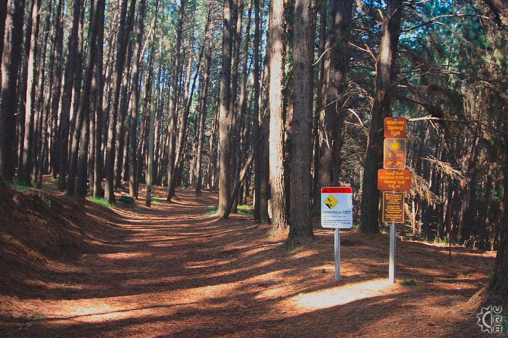
Warnings!: The main warning here is that the lower switchback portion of the trail that winds downhill to Waihou Springs is crumbling and should be avoided. The rest of the looping trail is well maintained and easily walked.
Equipment: Sturdy shoes, rain gear, outer long sleeve layer, water and food.
Reservations: None
Cost: None
Where to Start:
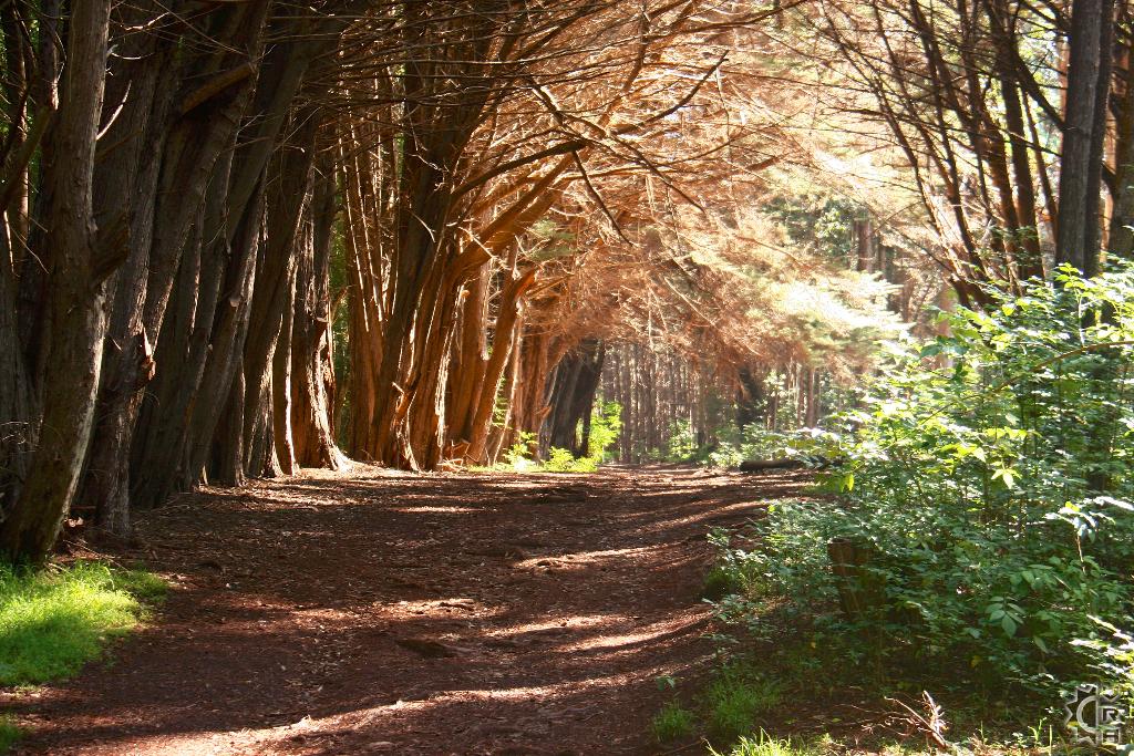
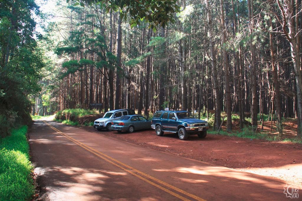
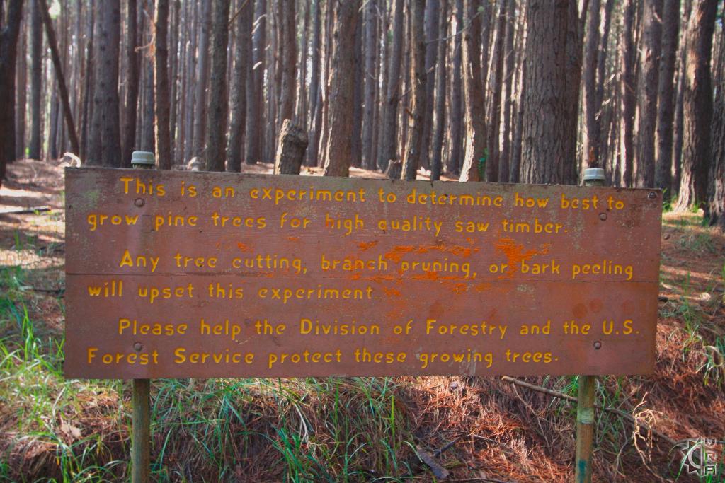
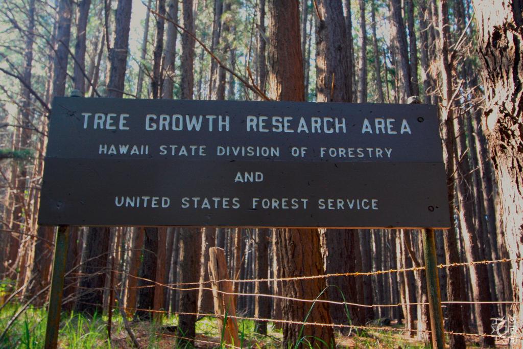
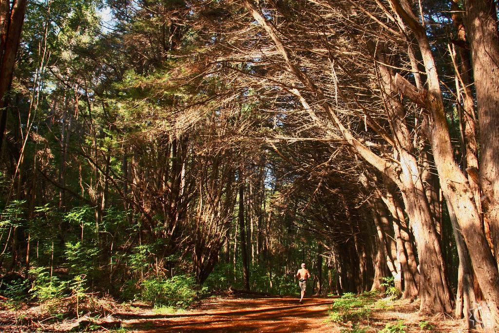
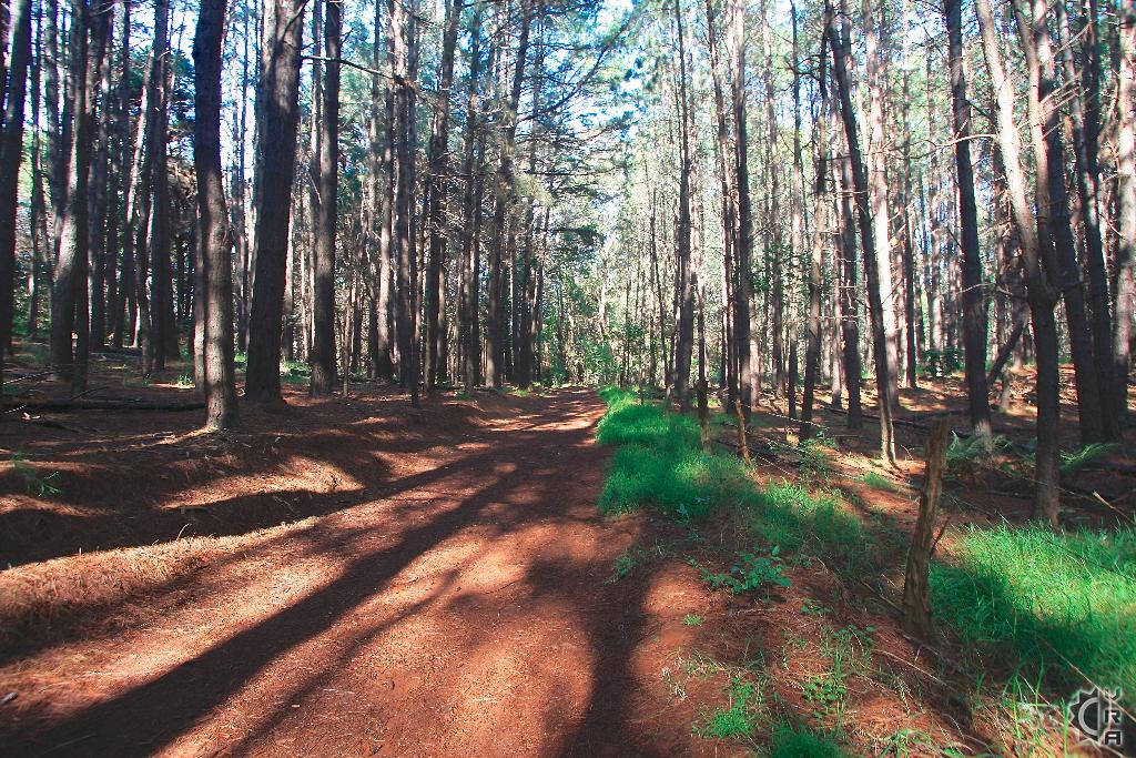
Driving carefully up the Olinda Road you pass stands of tall eucalyptus and melaleuca or paper bark trees. Eventually you will pass two bird recovery projects on the left, and a large red earth pull out and parking area on the right side will appear. Park here and prepare for the hike. The trail in begins at the small gate and starts as a dirt road through rows off pines planted by the Hawaii State Division of Forestry as a "Tree Growth Research Area". The tall knotty pines have an appearance of rows or hallways with the forest floor lined with red pine needles. After 0.25 miles walk in you come to a meadow lined with monterey spruce that lean in over the trail creating a wave of trees to walk beneath. The meadow opens up to the left and a clearing to the sky lets light in and is perfect for a picnic or kid games. The trail passes the meadow and winds and narrows crossing a dry stream bed then eventually coming to a fork.
The Loop: 0.6 miles
The left fork goes uphill through tall eucalyptus trees and then turns downhill to rejoin the right fork after just over a half mile. The mix of tall canopy and thick understory make this an idle escape to greenery for those wanting some forest walking. If you take the right split the trail begins downhill turns uphill then curves back downhill to return to the fork.
Waihou Springs (Spur Trail):
The right fork has a spur trail that leads to a view and a small bench. Beyond here the trail gets hazardous. A steep switch back trail to some small lava caves, begins just beyond the bench. This portion of trail is steep and has loose unstable footing so it is subject to closure due to trail conditions and trail collapse.
Local's Tip:
Visit the charming cowboy town of Makawao before or after your hike, as it is the closest supply depot. At the crossroads intersection at the base of the Olinda Road. There are a number of eateries, a small grocery store, and famous Komoda's Bakery lining the boardwalk streets. The nearby Eddie Tam Park off Makawao Avenue has public restrooms and picnic pavilions with views of the central valley.
State Na Ala Hele Trails link:
http://hawaiitrails.ehawaii.gov/trail.php?TrailID=MA+06+003
Directions:
From Haleakala Highway HI-route 37 heading up the mountain, turn left at the traffic light intersection of Makawao Avenue. Follow Makawao Avenue into town and the four-way stop intersection. Turn right at the stop sign onto Olinda Road and head carefully up the residential road for 4.8 miles. Parking area is on the right, just past the two bird recovery centers. The road is windy and narrow, slow driving is recommended.
Map


