Waihe'e Ridge
Description
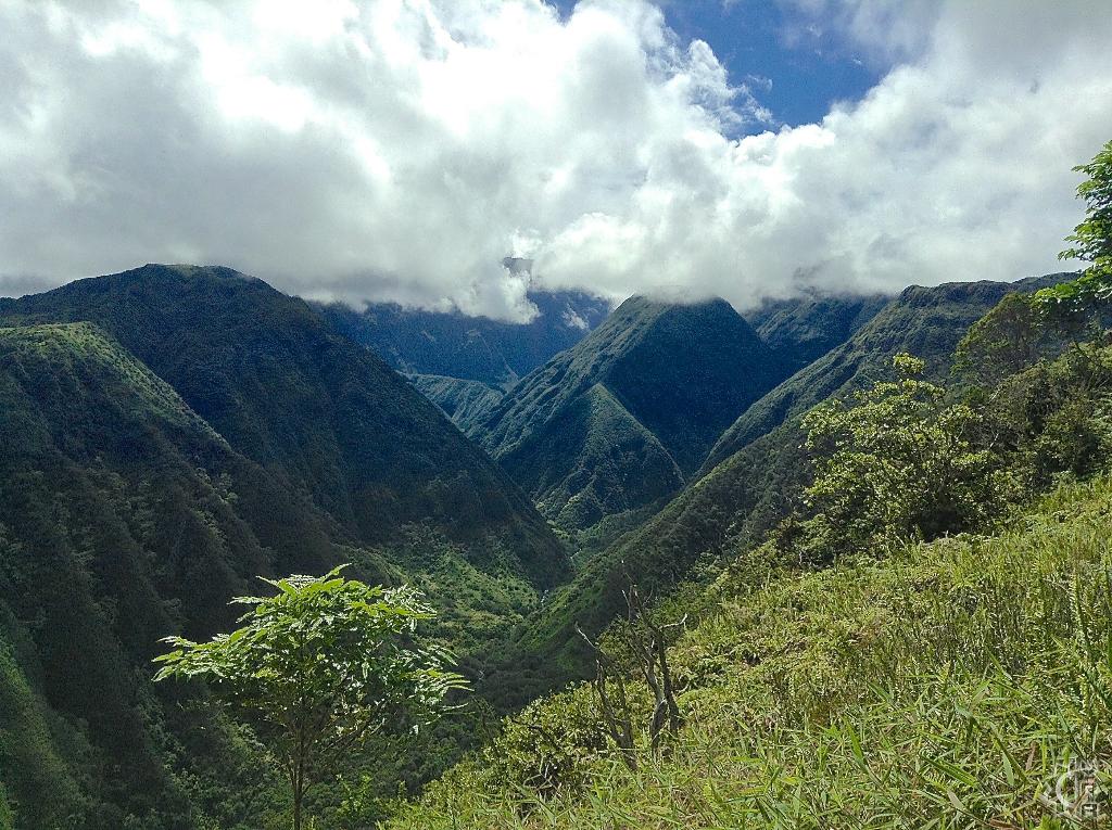
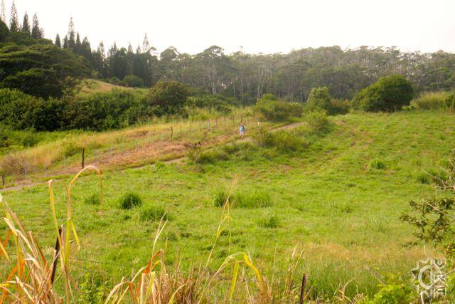
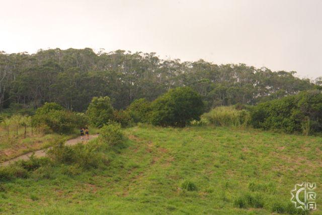
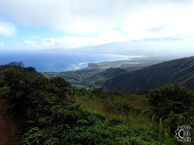
The view from the Waihe'e Ridge trail feels like a look into wild ancient Hawaii. This scenic mountain trail rises over 1500 feet vertically over a distance of 2.5 miles winding through pasture then tall cook island pines and thickets of guava, eventually reaching native plant groves. This trail is part of the Na Ala Hele, a Hawaii State trail system maintained for public access into the wild.
At a Glance:
Highlights: A steep trail leads to a ridge-line hike with huge views and a chance to enter into portions of native rainforest. It is a great workout with stunning views.
Activity Level: Strenuous, and steep. Can be slippery after rainfall, chilly conditions at top so bring layers.
Location: Near Wailuku town a 15 minute from central Maui.
Warnings!: Not recommended for those with heart or knee conditions.
Equipment: Sturdy shoes, rain gear, outer long sleeve layer, water and food.
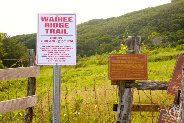
Reservations: None, but access road to trail closed 5 pm to 7 am.
Cost: None
Where to Start:
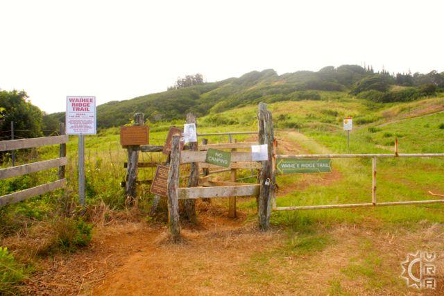
Just before the upper most parking area, the road takes a sharp right turn. There are two gates, the gate to the right is signed with the trailhead marker and you will walk through a cattle guard and then up a long pavement strip gaining elevation rapidly. 200 yards up the pavement look for the trail marker to the right and follow the trail through the next gate. The trail continues on and is steep but rewarding, with the rare opportunity to hike into the native forest, and perhaps even see some native birds such as the I'iwi, a Hawaiian Honeycreeper or the Apapane. Both are red in color to match their favorite flower, the native ohia lehua blossom, which flourishes at the upper parts of the mountain.
The views from the ridge are large, with the trail rising up to 2563 feet elevation where a picnic bench with a 360 degree view of the mountains to the sea from the end point.
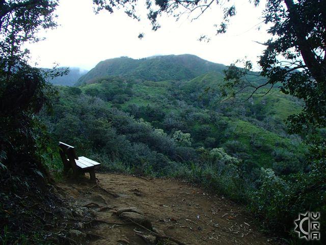
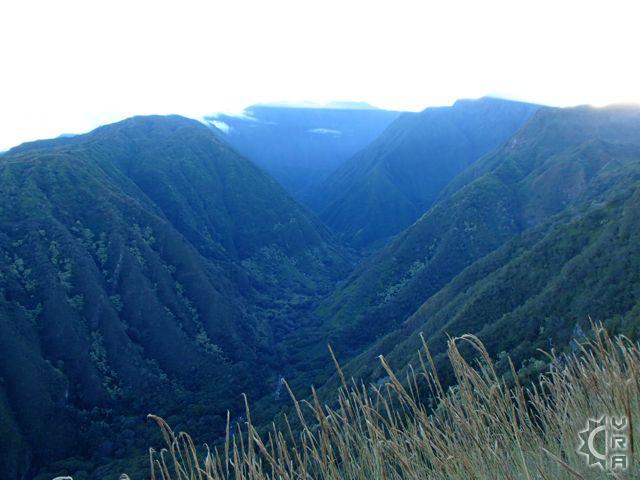
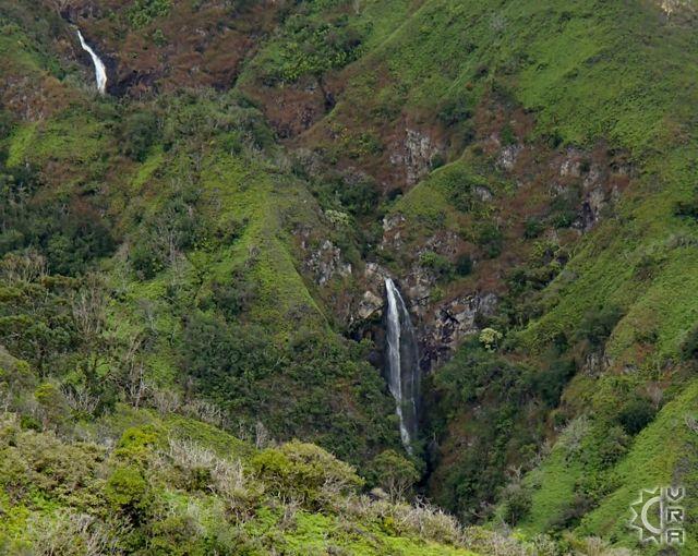
The first mile and a quarter brings you to a set of benches 300 yards apart, that feature lookouts into the headwaters of the Makamakaole Valley and the Waihee Valley respectively. The enormity of the river gorge and its power waters has to shape the land really takes hold of you as you catch your breath and stare into the view at bench number two. From there the trail continues to climb steadily allowing you to gauge your level of exertion keeping in mind that the trail out is the same trail you hike in.
The trail is a round trip of 2 hours or more so gauge your weather conditions and preparations accordingly.
Web link for this trail:
http://hawaiitrails.ehawaii.gov/trail.php?TrailID=MA+05+001&island=Maui
Directions:
From Wailuku take Kahekili Highway (340) through the countryside and small town of Waihee, with baseball field on right. Note the restroom there is last running water variety before trail. Continue on 340 as it passes a school then winds up the mountainside. Keep a lookout for "Mendes Ranch" sign on the right and the "Camp Maluhia Boy Scout Camp" sign on the left. Turn up left onto Maluhia Road and go 0.9 miles to the top. A sign on a fence marks the trailhead.
Map


