Tantalus Makiki Valley Looping Trail System
Description
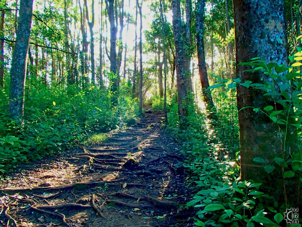
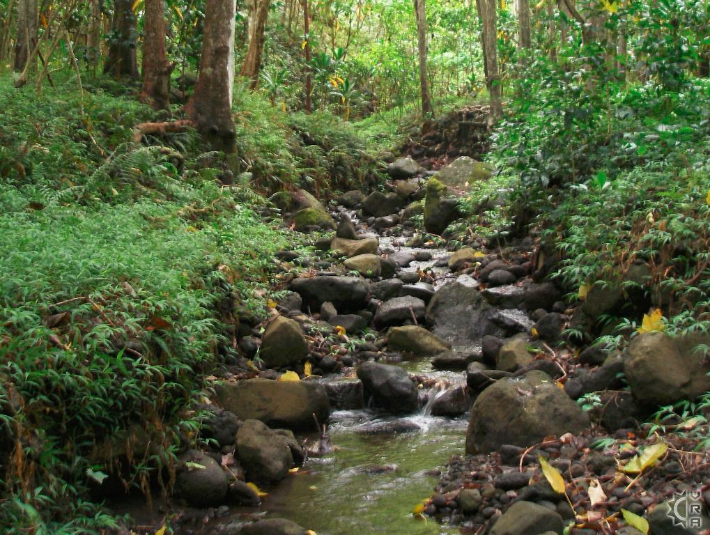
These trails are amazingly close to Honolulu, but once you are out hiking you leave behind any hint of city. These trails wind through a well-forested gulch and stream valley and are part of the Na Ala Hele State Trail System. They have online maps and descriptions available at the links below.
At a Glance:
Highlights: Hike a jungle right at the edge of downtown, 11 small interconnecting trails create a natural labyrinth to explore and relax in natural surroundings.
Location: Makiki, a neighborhood in Honolulu
Activity Level: Moderate to strenuous depending on length of hike.
Equipment: Sturdy shoes, rain gear, water and food.
Warnings!: Wet and slippery trail conditions often, roots and rocks scattered across trail. Best to print or download the map linked below, as there are many trails to navigate here.
Reservations: None needed
Cost: No fee
Where to Start:
There are several trail access points for this area, but the Makiki Road entry point is the easiest to find. The Maunalaha Trail begins just above and to the right of the Hawaii Nature Center at the top of the Makiki Valley Road. Look for brown signs with yellow lettering, characteristic of all "Na Ala Hele" State trails. Once you find this base of the trail, you are at the bottom loop of the system go right across the stream thenturns left uphill. At 0.7 of a mile you come to a four-way intersection of trails. Makiki Valley trail goes left across the valley to the top of Kanealole Trail which can be taken downhill to return to the trailhead area below creating a looping hike. For a longer hikes ascend up the mountain trails to connect with one of the numerous mountain trails that weave together through out the area. A printable map link for this trail system is found below. All along the ascending trails, look for breaks in the forest and views back into Honolulu below.
Na Ala Hele State Trail System links:
http://hawaiitrails.ehawaii.gov/island.php?island=Oahu
http://hawaiitrails.ehawaii.gov/trail.php?TrailID=OA+19+008&island=Oahu
Printable PDF topographical map of the area:
http://dlnr.hawaii.gov/recreation/files/2013/09/Oahu-Hiking-Map_HonoluluMaukaTrailsSystem.pdf
Directions:
From the intersection of Nehoa and Makiki Streets, proceed mauka and turn left on Makiki Heights Drive. Proceed for approximately 0.5 mile until the road makes a sharp left turn (look for a row of mailboxes on the right side of the road). Proceed straight ahead past the mailboxes through a green gate. There is a sign that says, "Makiki Forest Recreation Area." Continue shortly up the road till you see a gravel parking lot on your left. Parking for the trail is available in this lot. Proceed up the road on foot till you reach a stone building (public restroom) on your right. Turn right just before the building and the trailhead begins right after the bridge.
Map


