Bamboo Forest Huelo
Description
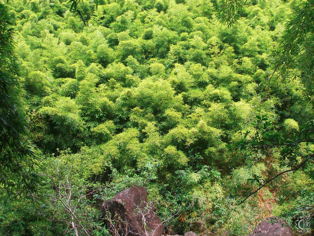
There are many areas on Maui with bamboo, but not many that you can hike into a a fill forest of bamboo. Huelos bamboo forest has a maze of trails that lead to several waterfalls and lots of greenery. The experience of hiking through a bamboo forest is very humbling, as if you were a flea on a camels back, the rolling terrain is lined by row upon row of tall green bamboo that rustles in the wind.
At a Glance:
Highlights: An easy to find and popular hiking location at 7 mile marker of the famed Hana Highway, the bamboo forest spans several miles up a watershed with waterfalls and swimming.
Location: Just past mile marker 6 and 7 on the Hana Highway, 15 miles from Pa'ia
Activity Level: Moderate to intense depending on how far you walk and trail conditions. Expect slippery wet muddy trail conditions.
Equipment: Sturdy shoes, rain gear, water and food.
Warnings!: The upper portions of the trail are unmaintained and cross into river access areas that can be flash flood prone. Avoid hiking hear when it is raining or the inland mountains are dark and clouded.
Where to start:
Access to the hikes is roadside through a broken old fence in the hundred yards past the sharpest turn in the road past mile marker 6. Cars will be parked on both sides of road.
The trail begins by winding inland through the bamboo until you reach a steep downhill slope worn by foot traffic. Often muddy, the trail provides a good agility test for what lays ahead and you will begin to notice that hiking here is often a controlled slide. Use the edges of the trail and hold the living green bamboo as a natural hand railing.
At the bottom of the hill there is a plank across a small drainage canal, then the trail splits for about 25 yards, then reunites at the stream crossing. This stream floods often so look carefully at the water level and color. Brown unclear water is indicative of a flood, if it is raining or has been raining and the water is brown then turn around and avoid the danger.
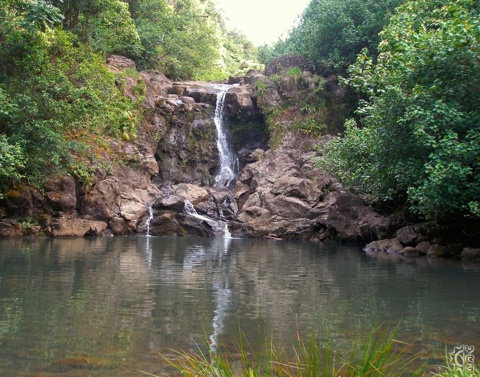
If the water is running clean and the stream rocks are visible, "rock hop" your way across the boulders to the trail. At this point you will walk paralleling the stream on your left, until you come to the base of waterfall #1. This pool is shallow but beautiful, and makes for great photos. Those wishing to continue further will notice a hillside worn by foot traffic on the left side of stream as you look at the waterfall.
Make your way up the sloped trail and you will continue upstream this time paralleling the stream which will be on your right as you walk 150 yards to the largest and best waterfall in the valley.
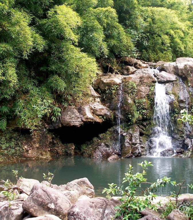
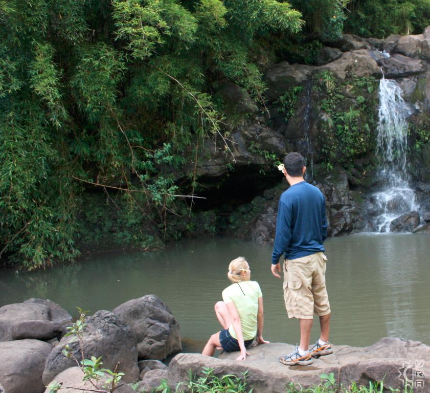
Upon reaching waterfall #2, you will find the biggest and most swimmable pool on this hike. Enjoy it, and swim carefully as Hawaiian streams have a an unpredictable underwater topography that can have hidden rocks and broken tree limbs beneath the surface.
The trail does continue on to a third waterfall, but the distance and effort for the next falls is a bit more heroic. Waterfall #3 is reached by climbing up a makeshift ladder that is to the left of the falls, and takes you up to the streambed above. Walk the stream for about mile and you will come to the point where you have to actually swim the stream to make it further. A 40 yard swim and small climb up a 6 foot ledge gets you to the base of waterfall #3. The rocks surrounding this falls are jagged and sharp, many haven cleaved off the rock walls above. Proceed with caution when entering the area.
The way out is the mirror of the way in, so gauge your trip time appropriately. For safest experience hiking mid-day is best, as the volume of hikers on the trail makes the journey easier as you are able to assist one another. Avoid hiking toward night fall because it can be very disorienting and the crowds diminish, hikers often get lost on this trail if they go out too late in the day.
Directions:
Take route 36, the "Hana Highway" East out of Paia. Follow for approximately 14 miles until the roads mile markers reset, changing into route 360. Follow route 360 just past mile marker 6, and a very sharp uphill turn to the right and look for parking on the right side off the roadway or turn around and park on opposite side of road.
Map


